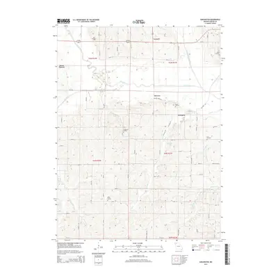
2014 Map of Darlington
USGS Topo · Published 2014About this map
The Grand River and its multiple forks shape the landscape of this Gentry County region, where the town of Darlington sits at the confluence with Long Br. This survey documents a rural environment defined by small rural hubs and an extensive network of named cemeteries, reflecting generations of local family history. Scattered settlements like Carmack, McCurry, and Mount Pleasant are connected by a grid of numbered roads and named paths such as Poff Trl and McCurry Grove Trl. To the south, the terrain becomes more varied as tributaries like Boatright Br and Stillhouse Br drain toward the river system. The concentration of burial grounds, including Saint Patrick Cemetery, Long Branch Cemetery, and Hall Cemetery, suggests the enduring legacy of the early homesteads and parishes that established these farming communities in Northwest Missouri.
Find a feature on this map
63 named features on this map. Tap any name to fly to it.
Don’t see what you’re looking for? This feature index may not catch every label — zoom into the map to look around manually.
Map Details
Editions of this 2014 Darlington Map
This is the sole edition of this map. No revisions or reprints were ever made.
Other maps of this area

1925 · Stanberry
USGS Topo · 1:62,500

1925 · Darlington
USGS Topo · 1:62,500

1939 · Stanberry
USGS Topo · 1:62,500

1940 · Parnell
USGS Topo · 1:62,500

1942 · Grant City
USGS Topo · 1:62,500

1943 · Parnell
USGS Topo · 1:62,500

1943 · Grant City
USGS Topo · 1:62,500

1943 · Stanberry
USGS Topo · 1:62,500

1950 · Darlington
USGS Topo · 1:62,500

1955 · Nebraska City
USGS Topo · 1:250,000