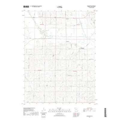
2017 Map of Darlington
USGS Topo · Published 2017About this map
The Grand River meanders across this rural Gentry County landscape, shaping the development of local settlements like Darlington, McCurry, and Carmack. This 2017 study captures a transition of land use where historic family holdings and cemeteries are preserved alongside contemporary infrastructure. The map is particularly notable for its dense concentration of burial grounds, providing an essential resource for tracing local lineages through sites such as Saint Patrick Cem, Rodes Cem, Hall Cem, and Sloan Cem.
Find a feature on this map
64 named features on this map. Tap any name to fly to it.
Don’t see what you’re looking for? This feature index may not catch every label — zoom into the map to look around manually.
Map Details
Editions of this 2017 Darlington Map
This is the sole edition of this map. No revisions or reprints were ever made.
Other maps of this area

1925 · Stanberry
USGS Topo · 1:62,500

1925 · Darlington
USGS Topo · 1:62,500

1939 · Stanberry
USGS Topo · 1:62,500

1940 · Parnell
USGS Topo · 1:62,500

1942 · Grant City
USGS Topo · 1:62,500

1943 · Parnell
USGS Topo · 1:62,500

1943 · Grant City
USGS Topo · 1:62,500

1943 · Stanberry
USGS Topo · 1:62,500

1950 · Darlington
USGS Topo · 1:62,500

1955 · Nebraska City
USGS Topo · 1:250,000