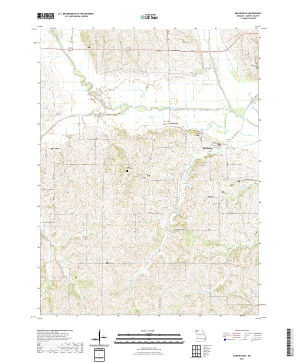
2021 Map of Darlington
USGS Topo · Published 2021About this map
Darlington serves as the central hub of this Gentry County landscape, situated near the confluence where the Middle Fork Grand River meets the main stem of the Grand River. The area is defined by a dense network of tributaries including Wildcat Cr, Boatright Br, and Stillhouse Br, which carve through the terrain between small settlements like Carmack and McCurry. This 2021 survey reveals a deeply rooted rural community, preserved through numerous family and parish burial grounds. Genealogists can locate Saint Patrick Cem in the south, Long Branch Cem near the center, and several others such as Hall Cem and Rodes Cem scattered across the township. The land is interlaced with local routes like Ettieville Rd and McCurry Grove Trl, reflecting a settlement pattern that remains tied to its watercourses and early homestead locations.
Find a feature on this map
59 named features on this map. Tap any name to fly to it.
Don’t see what you’re looking for? This feature index may not catch every label — zoom into the map to look around manually.
Map Details
Editions of this 2021 Darlington Map
This is the sole edition of this map. No revisions or reprints were ever made.
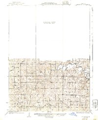
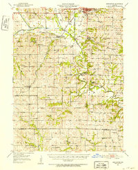
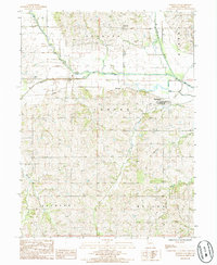
Historical Maps of Darlington Through Time
4 maps found
Featured Locations
- Athens Township, MO
- Cooper Township, MO
- Huggins Township, MO
- Darlington, Cooper Township
- McCurry, Cooper Township