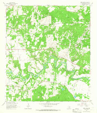
1964 Map of Darst Creek
USGS Topo · Published 1965About this map
The Guadalupe River winds through this section of Guadalupe County, defining a landscape shaped by petroleum extraction and rural community life in the mid-1960s. The prominent Oil Field and associated Pipeline networks indicate the industrial importance of the Darst Creek area, while the presence of a Pumping Station near the river bank highlights the infrastructure required for local operations.
Find a feature on this map
24 named features on this map. Tap any name to fly to it.
Don’t see what you’re looking for? This feature index may not catch every label — zoom into the map to look around manually.
Map Details
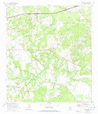
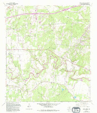
Editions of this 1964 Darst Creek Map
3 editions found
Other maps of this area

1911 · San Marcos
USGS Topo · 1:125,000

1919 · San Marcos
USGS Topo · 1:125,000

1920 · Smiley
USGS Topo · 1:125,000

1924 · San Marcos 3-c
USGS Topo · 1:48,000

1924 · San Marcos 3-d
USGS Topo · 1:48,000

1925 · San Marcos 4-c
USGS Topo · 1:48,000

1929 · Luling
USGS Topo · 1:62,500

1930 · Seguin
USGS Topo · 1:62,500

1942 · Dewville
USGS Topo · 1:62,500

1953 · Seguin
USGS Topo · 1:250,000