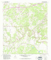
1964 Map of Darst Creek
USGS Topo · Published 1994About this map
The Guadalupe River snakes through this portion of Guadalupe County, defining a landscape shaped by petroleum extraction and rural community life. The expansive Oil Field dominates the central terrain, marked by numerous drill holes and gravel operations that speak to the region's industrial character during the mid-20th century. Away from the riverbanks, the land is divided by a network of drainage systems including Mill Creek, Darst Creek, and Salt Creek, where small country churches like New Salem Ch and Capote Ch served as local anchors. Genealogists will find significant value in the documentation of local burial grounds, ranging from the Garden of Memories Cemetery in the northwest to smaller family or community plots such as Eden Cem and Matthies Cem. The presence of a Landing Strip and a Rifle Range further illustrates the varied land use in this pocket of Texas during the post-war era.
Find a feature on this map
25 named features on this map. Tap any name to fly to it.
Don’t see what you’re looking for? This feature index may not catch every label — zoom into the map to look around manually.
Map Details
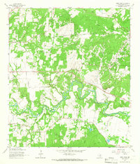
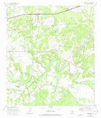
Editions of this 1964 Darst Creek Map
3 editions found
Other maps of this area

1911 · San Marcos
USGS Topo · 1:125,000

1919 · San Marcos
USGS Topo · 1:125,000

1920 · Smiley
USGS Topo · 1:125,000

1924 · San Marcos 3-c
USGS Topo · 1:48,000

1924 · San Marcos 3-d
USGS Topo · 1:48,000

1925 · San Marcos 4-c
USGS Topo · 1:48,000

1929 · Luling
USGS Topo · 1:62,500

1930 · Seguin
USGS Topo · 1:62,500

1942 · Dewville
USGS Topo · 1:62,500

1953 · Seguin
USGS Topo · 1:250,000