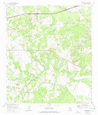
1964 Map of Darst Creek
USGS Topo · Published 1975About this map
The Guadalupe River snakes through this Texas landscape, defining a region where water resources and petroleum extraction have long shaped the local economy. The Darst Creek Oil Field occupies a significant portion of the central terrain, characterized by a dense network of drilling sites and infrastructure, including a Pumping Station and Substation. This industrial activity is contrasted by the enduring presence of rural community anchors, such as New Salem Ch and Capote Ch, alongside several family and local burial grounds like Eden Cem and Matthies Cem.
Find a feature on this map
25 named features on this map. Tap any name to fly to it.
Don’t see what you’re looking for? This feature index may not catch every label — zoom into the map to look around manually.
Map Details
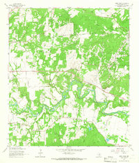
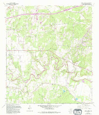
Editions of this 1964 Darst Creek Map
3 editions found
Other maps of this area

1911 · San Marcos
USGS Topo · 1:125,000

1919 · San Marcos
USGS Topo · 1:125,000

1920 · Smiley
USGS Topo · 1:125,000

1924 · San Marcos 3-c
USGS Topo · 1:48,000

1924 · San Marcos 3-d
USGS Topo · 1:48,000

1925 · San Marcos 4-c
USGS Topo · 1:48,000

1929 · Luling
USGS Topo · 1:62,500

1930 · Seguin
USGS Topo · 1:62,500

1942 · Dewville
USGS Topo · 1:62,500

1953 · Seguin
USGS Topo · 1:250,000