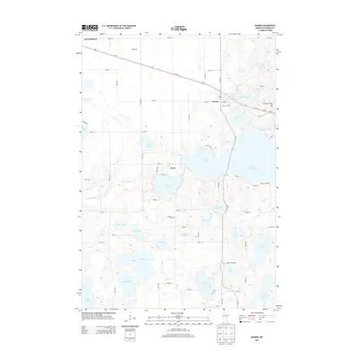
2013 Map of Darwin
USGS Topo · Published 2013About this map
Darwin sits at the heart of this Meeker County landscape, where the corridor of Us-12 links the town eastward toward the waters of Lake Darwin. This 2013 survey illustrates a region defined by an intricate network of glacial lakes and wetlands, ranging from the large expanses of Lake Washington and Lake Stella to smaller basins like Eighty Acre Lake and School House Lake. The map reveals a land use pattern of concentrated lakeside development and sprawling agricultural tracts, exemplified by Maadi Farm and the Lakeview Orchard near Long Lake.
Find a feature on this map
67 named features on this map. Tap any name to fly to it.
Don’t see what you’re looking for? This feature index may not catch every label — zoom into the map to look around manually.
Map Details
Editions of this 2013 Darwin Map
This is the sole edition of this map. No revisions or reprints were ever made.
Other maps of this area

1953 · New Ulm
USGS Topo · 1:250,000

1953 · Saint Cloud
USGS Topo · 1:250,000

1957 · Saint Cloud
USGS Topo · 1:250,000

1957 · New Ulm
USGS Topo · 1:250,000

1958 · New Ulm
USGS Topo · 1:250,000

1958 · Saint Cloud
USGS Topo · 1:250,000

1958 · Dassel
USGS Topo · 1:62,500

1958 · Hutchinson
USGS Topo · 1:62,500

1967 · New Ulm
USGS Topo · 1:250,000

1967 · Litchfield South
USGS Topo · 1:24,000