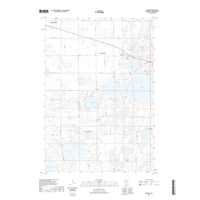
2019 Map of Darwin
USGS Topo · Published 2019About this map
Darwin sits at the heart of this Meeker County landscape, where the grain of the land is defined by a dense network of glacial lakes and wetlands. The settlement of Casey and the eastern edge of Litchfield anchor the western and central portions of the map, connected by a rigid grid of country roads such as 250th St and 260th St. For genealogists, several local burial grounds are documented, including Saint Johns Cem, All Saints Lutheran Cem, and the more isolated Ellsworth Cem further south.
Find a feature on this map
50 named features on this map. Tap any name to fly to it.
Don’t see what you’re looking for? This feature index may not catch every label — zoom into the map to look around manually.
Map Details
Editions of this 2019 Darwin Map
This is the sole edition of this map. No revisions or reprints were ever made.
Other maps of this area

1953 · New Ulm
USGS Topo · 1:250,000

1953 · Saint Cloud
USGS Topo · 1:250,000

1957 · Saint Cloud
USGS Topo · 1:250,000

1957 · New Ulm
USGS Topo · 1:250,000

1958 · New Ulm
USGS Topo · 1:250,000

1958 · Saint Cloud
USGS Topo · 1:250,000

1958 · Dassel
USGS Topo · 1:62,500

1958 · Hutchinson
USGS Topo · 1:62,500

1967 · New Ulm
USGS Topo · 1:250,000

1967 · Litchfield South
USGS Topo · 1:24,000