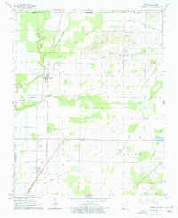
1964 Map of Datto
USGS Topo · Published 1977About this map
The St Louis - San Francisco railroad anchors this 1960s landscape, connecting the agricultural communities of Success and Datto along the Ripley and Randolph county lines. The terrain is defined by an extensive network of drainage projects, including Cypress Ditch, Palatka Ditch, and Burke Ditch, which converted the lowlands near the Little Black River into productive farmland. Genealogists will find a wealth of local landmarks, from the Richwoods and Masterson cemeteries to rural congregational hubs like Shiloh Ch and Grassylead Ch. The map also captures the specialized land use of the era, such as the U S Fish Hatchery in the southeast and the scattered hamlets of Palatka and its surrounding family-named cemeteries.
Find a feature on this map
34 named features on this map. Tap any name to fly to it.
Don’t see what you’re looking for? This feature index may not catch every label — zoom into the map to look around manually.
Map Details
Editions of this 1964 Datto Map
2 editions found
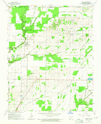
Other maps of this area

1935 · Acorn
USGS Topo · 1:62,500

1935 · Knobel
USGS Topo · 1:62,500

1935 · Reyno
USGS Topo · 1:62,500

1939 · Doniphan
USGS Topo · 1:62,500

1940 · Naylor
USGS Topo · 1:62,500

1941 · Knobel
USGS Topo · 1:62,500

1944 · Naylor
USGS Topo · 1:62,500

1945 · Doniphan
USGS Topo · 1:62,500

1957 · Poplar Bluff
USGS Topo · 1:250,000

1959 · Poplar Bluff
USGS Topo · 1:250,000