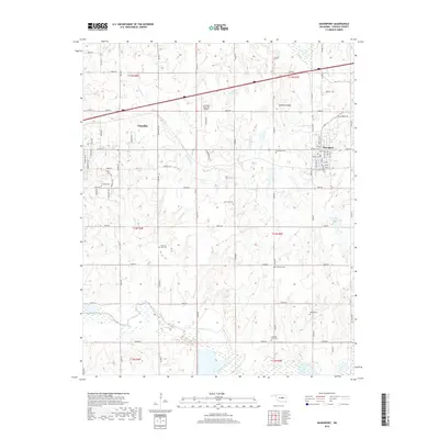
2018 Map of Davenport
USGS Topo · Published 2018About this map
The town of Chandler and the smaller settlement of Davenport anchor this Oklahoma landscape, situated within a grid of section-line roads such as E0890 Rd and N3500 Rd. This 2018 survey reveals a terrain defined by the winding course of the Deep Fork river and several localized drainages like Chuckaho Creek and Quapaw Creek. Local aviation is represented by the Chandler Regional Airport north of the main town site.
Find a feature on this map
79 named features on this map. Tap any name to fly to it.
Don’t see what you’re looking for? This feature index may not catch every label — zoom into the map to look around manually.
Map Details
Editions of this 2018 Davenport Map
This is the sole edition of this map. No revisions or reprints were ever made.
Other maps of this area

1905 · Chandler
USGS Topo · 1:62,500

1907 · Chandler
USGS Topo · 1:62,500

1908 · Agra
USGS Topo · 1:62,500

1929 · Stroud
USGS Topo · 1:62,500

1931 · Drumright
USGS Topo · 1:62,500

1932 · Stroud
USGS Topo · 1:62,500

1954 · Oklahoma City
USGS Topo · 1:250,000

1957 · Oklahoma City
USGS Topo · 1:250,000

1963 · Oklahoma City
USGS Topo · 1:250,000
1974 · Arlington
USGS Topo · 1:24,000