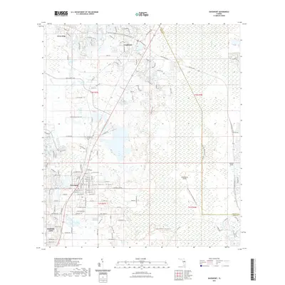
2021 Map of Davenport
USGS Topo · Published 2021About this map
Davenport and the northern edge of Haines City anchor this central Florida survey, where the developing suburban landscape meets the unique environment of the Lake Wales Ridge. The corridor is defined by the CSX Transportation railroad and Highway 17/92, which connect the historic settlements of Loughman and Citrus Ridge. Cultural landmarks like the Davenport Evergreen Cem and Ret Row Cem provide valuable touchpoints for local genealogists, while the Little Zion Ch serves as a longstanding community fixture.
Find a feature on this map
123 named features on this map. Tap any name to fly to it.
Don’t see what you’re looking for? This feature index may not catch every label — zoom into the map to look around manually.
Map Details
Editions of this 2021 Davenport Map
This is the sole edition of this map. No revisions or reprints were ever made.
Other maps of this area

1953 · Dundee
USGS Topo · 1:24,000

1953 · Lake Hatchineha
USGS Topo · 1:24,000

1953 · Lake Tohopekaliga
USGS Topo · 1:24,000

1953 · Kissimmee
USGS Topo · 1:24,000

1953 · Intercession City
USGS Topo · 1:24,000

1953 · Davenport
USGS Topo · 1:24,000

1955 · Orlando
USGS Topo · 1:250,000

1957 · Orlando
USGS Topo · 1:250,000

1958 · Orlando
USGS Topo · 1:250,000

1959 · Gum Lake
USGS Topo · 1:24,000