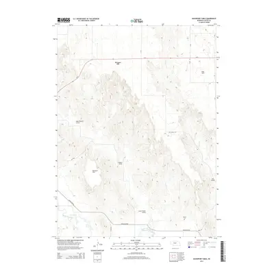
2014 Map of Davenport Table
USGS Topo · Published 2014About this map
Pleasant Hill stands at the northern edge of this Nebraska landscape, where the plateau terrain begins its descent into a complex network of draws and canyons. The geography is defined by prominent elevated flats including Davenport Table and West Table, which overlook the dramatic incisions of Upper Powell Canyon and Lower Powell Canyon. This 2014 survey reveals a sparse settlement pattern characteristic of Custer County's agricultural highlands, where life centers on isolated homesteads connected by a grid of numbered roads and named tracks like White Rd. To the south, the terrain levels out as it approaches the South Loup River, a vital water source that draws the local infrastructure, including the Arnold River Rd, toward its banks. Genealogists will find the Wilhelm Cem located in the southeastern quadrant, a quiet marker of the families who settled these high tables and managed the cattle and crops through the deep creases of Hidden Valley and Pine Canyon.
Find a feature on this map
18 named features on this map. Tap any name to fly to it.
Don’t see what you’re looking for? This feature index may not catch every label — zoom into the map to look around manually.
Map Details
Editions of this 2014 Davenport Table Map
This is the sole edition of this map. No revisions or reprints were ever made.
Other maps of this area

1948 · Linscott
USGS Topo · 1:62,500

1950 · Linscott
USGS Topo · 1:62,500

1951 · Callaway NW
USGS Topo · 1:24,000

1951 · Anselmo SW
USGS Topo · 1:24,000

1951 · Callaway
USGS Topo · 1:24,000

1954 · North Platte
USGS Topo · 1:250,000

1955 · Broken Bow
USGS Topo · 1:250,000

1956 · Broken Bow
USGS Topo · 1:250,000

1956 · North Platte
USGS Topo · 1:250,000

1957 · North Platte
USGS Topo · 1:250,000