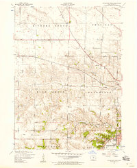
1953 Map of Davenport West
USGS Topo · Published 1958About this map
The western outskirts of Davenport in the mid-1950s reveal a landscape transitioning from rural townships like Blue Grass and Hickory Grove toward the growing city limits. The Chicago Rock Island and Pacific railroad bisects the terrain, passing through the settlement of Probstei and serving industrial markers such as a prominent Power station. Along the historic Telegraph Road, local geography is defined by a dense network of numbered schools, ranging from School No. 2 to School No. 9, and several family-named burial grounds including the Kisenmacher Cemetery and Friday Family Cemetery. Further south, the Royal Neighbors of America Home sits near the banks of the Mississippi River area, while the land between Duck Creek and Black Hawk Creek shows the established agricultural grid of the era.
Find a feature on this map
31 named features on this map. Tap any name to fly to it.
Don’t see what you’re looking for? This feature index may not catch every label — zoom into the map to look around manually.
Map Details
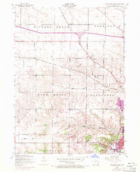
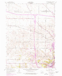
Editions of this 1953 Davenport West Map
Other maps of this area

1890 · Durant
USGS Topo · 1:62,500

1891 · Davenport
USGS Topo · 1:62,500

1894 · Durant
USGS Topo · 1:62,500

1894 · Davenport
USGS Topo · 1:62,500

1901 · Rock Island
USGS Topo · 1:125,000

1910 · Rock Island
USGS Topo · 1:125,000

1912 · Milan
USGS Topo · 1:62,500

1916 · Edgington
USGS Topo · 1:62,500

1938 · Edgington
USGS Topo · 1:62,500

1944 · Milan
USGS Topo · 1:62,500