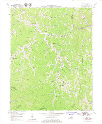
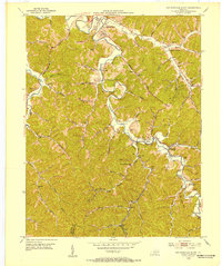
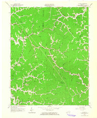
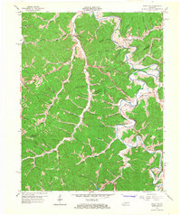
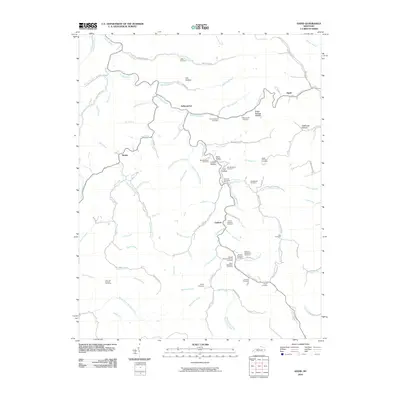
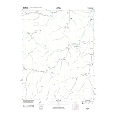
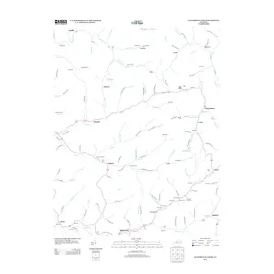
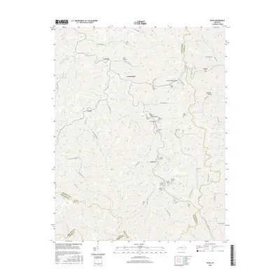
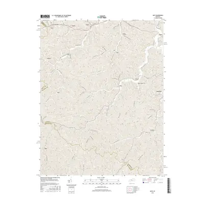
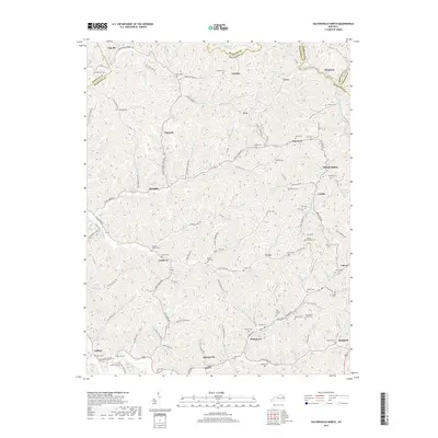
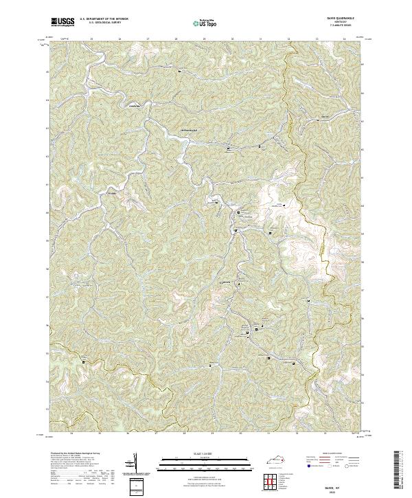
1954 Map of David
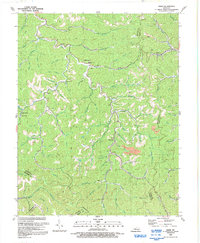
USGS Topo · Published 1979About this map
The upper reaches of the Licking River define the intricate topography of this Magoffin County landscape during the mid-1950s. Small mountain settlements and family enclaves are tucked into the narrow hollows, connected by a network of rural schools including Howard Branch Sch, Molly Branch Sch, and the Head of Trace Sch. The geography is deeply segmented by ridges like Seals Ridge, where life centered on the forks and branches of the major creeks.
Find a feature on this map
96 named features on this map. Tap any name to fly to it.
Don’t see what you’re looking for? This feature index may not catch every label — zoom into the map to look around manually.
Map Details
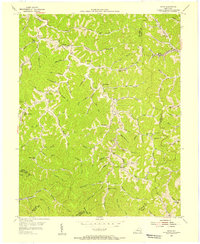
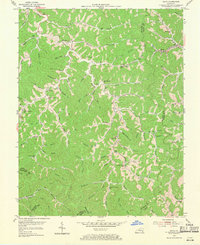
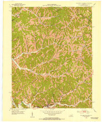
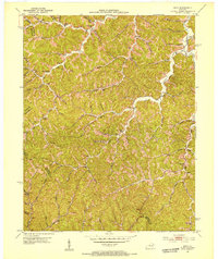
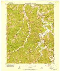
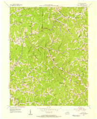
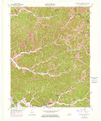
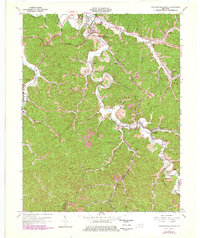
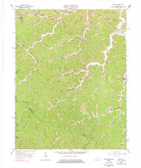
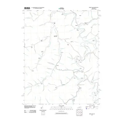
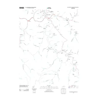
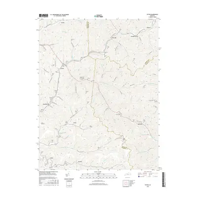
Editions of this 1954 David Map
3 editions found
Historical Maps of Arthurmabel Through Time
44 maps found
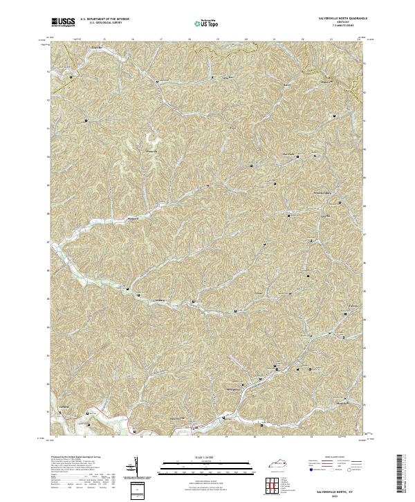
1951 Salyersville North
Magoffin County, KY
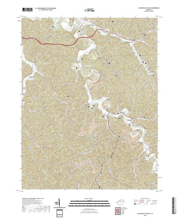
1951 Salyersville South
Magoffin County, KY
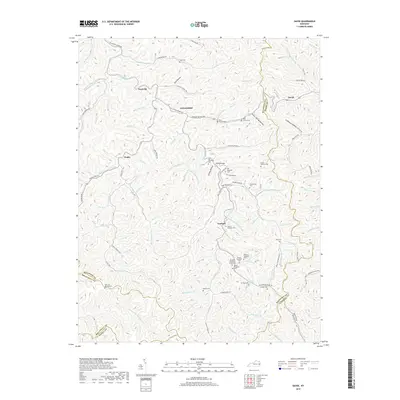
1951 Seitz
Magoffin County, KY
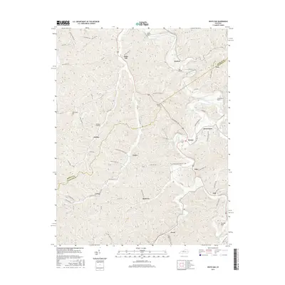
1951 White Oak
Magoffin County, KY
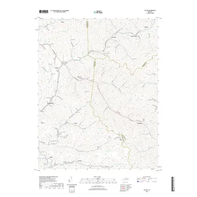
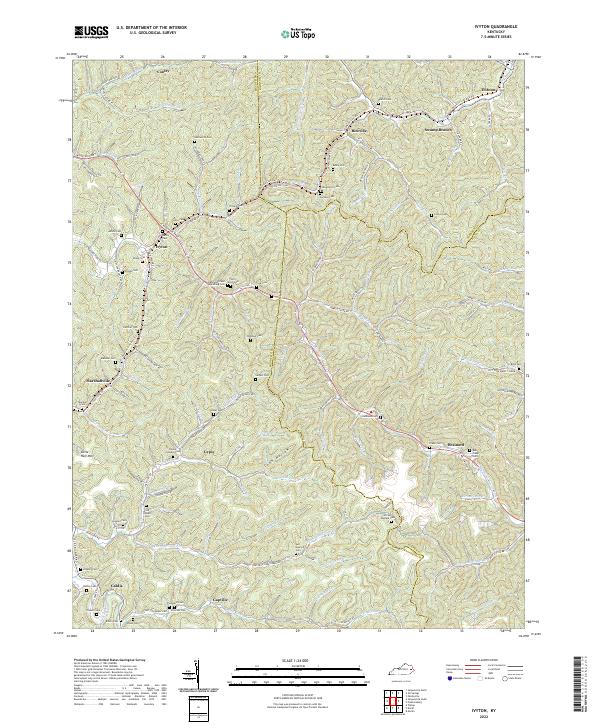
1953 Ivyton
Magoffin County, KY
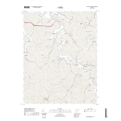
1954 David
Magoffin County, KY
1962 Ivyton
Magoffin County, KY
1962 Salyersville North
Magoffin County, KY
1962 Salyersville South
Magoffin County, KY
1965 Seitz
Magoffin County, KY
1965 White Oak
Magoffin County, KY
1992 David
Magoffin County, KY
1992 Ivyton
Magoffin County, KY
1992 Salyersville North
Magoffin County, KY
2010 David
Magoffin County, KY
2010 Ivyton
Magoffin County, KY
2010 Salyersville North
Magoffin County, KY
2010 Salyersville South
Magoffin County, KY
2010 Seitz
Magoffin County, KY
2010 White Oak
Magoffin County, KY
2013 David
Magoffin County, KY
2013 Ivyton
Magoffin County, KY
2013 Salyersville North
Magoffin County, KY
2013 Salyersville South
Magoffin County, KY
2013 Seitz
Magoffin County, KY
2013 White Oak
Magoffin County, KY
2016 David
Magoffin County, KY
2016 Ivyton
Magoffin County, KY
2016 Salyersville North
Magoffin County, KY
2016 Salyersville South
Magoffin County, KY
2016 Seitz
Magoffin County, KY
2016 White Oak
Magoffin County, KY
2019 David
Magoffin County, KY
2019 Ivyton
Magoffin County, KY
2019 Salyersville North
Magoffin County, KY
2019 Salyersville South
Magoffin County, KY
2019 Seitz
Magoffin County, KY
2019 White Oak
Magoffin County, KY
2022 David
Magoffin County, KY
2022 Ivyton
Magoffin County, KY
2022 Salyersville North
Magoffin County, KY
2022 Salyersville South
Magoffin County, KY
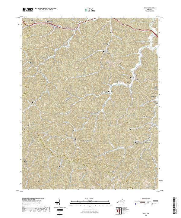
2022 Seitz
Magoffin County, KY
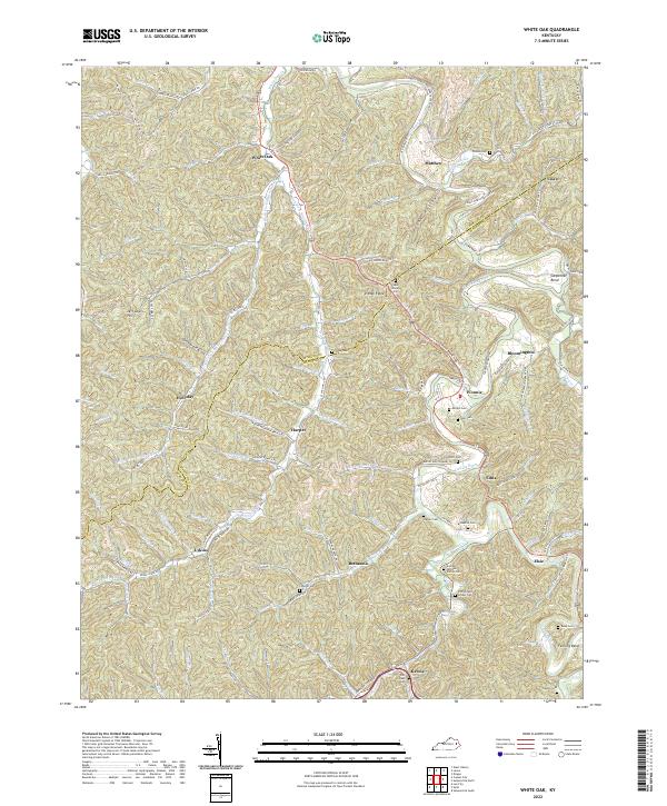
2022 White Oak
Magoffin County, KY