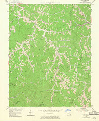
1954 Map of David
USGS Topo · Published 1970About this map
The Licking River winds through this 1954 topographical study, carving a dense network of branches and forks across the Magoffin County landscape. Small rural communities like Fredville, Arthurmabel, and Gunlock are connected by a landscape of family-named hollows and watercourses, reflecting a settlement pattern deeply tied to the local drainage system. The presence of numerous education and spiritual centers, such as Waldo Wayside Ch, Allen Sch, and the Forks of Trace Sch, suggests a series of self-sufficient valley neighborhoods common in the Eastern Kentucky coalfields before significant consolidation.
Find a feature on this map
88 named features on this map. Tap any name to fly to it.
Don’t see what you’re looking for? This feature index may not catch every label — zoom into the map to look around manually.
Map Details
Editions of this 1954 David Map
3 editions found
Other maps of this area

1886 · Prestonsburg
USGS Topo · 1:125,000

1889 · Salyersville
USGS Topo · 1:125,000

1890 · Whitesburg
USGS Topo · 1:125,000

1891 · Hazard
USGS Topo · 1:125,000

1891 · Salyersville
USGS Topo · 1:125,000

1892 · Whitesburg
USGS Topo · 1:125,000

1892 · Prestonsburg
USGS Topo · 1:125,000

1899 · Salyersville
USGS Topo · 1:125,000

1912 · Hindman
USGS Topo · 1:48,000

1914 · Troublesome
USGS Topo · 1:62,500