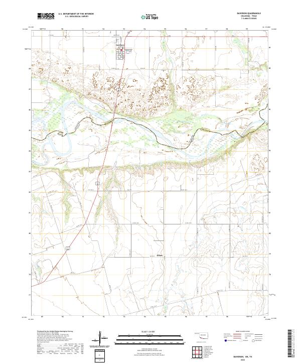
2022 Map of Davidson
USGS Topo · Published 2022About this map
The Red River serves as the prominent natural boundary in this landscape, carving a wide and intricate path between Oklahoma and Texas. On the northern banks in Tillman County, the town of Davidson is laid out in a clear grid anchored by N Main St and Primrose Ave. The surrounding terrain is defined by a network of rural routes and sectional roads such as Co Rd 126 E and FM 1763, which connect the agricultural hinterlands to the small settlement at Elliott.
Find a feature on this map
36 named features on this map. Tap any name to fly to it.
Don’t see what you’re looking for? This feature index may not catch every label — zoom into the map to look around manually.
Map Details
Editions of this 2022 Davidson Map
This is the sole edition of this map. No revisions or reprints were ever made.
Other maps of this area

1916 · Electra
USGS Topo · 1:24,000

1918 · Electra
USGS Topo · 1:31,680

1955 · Lawton
USGS Topo · 1:250,000

1958 · Davidson
USGS Topo · 1:62,500

1958 · Frederick
USGS Topo · 1:62,500

1958 · Electra
USGS Topo · 1:62,500
1972 · Electra
USGS Topo · 1:24,000

1974 · Hackberry Flat
USGS Topo · 1:24,000

1975 · Frederick SW
USGS Topo · 1:24,000

1975 · Frederick SE
USGS Topo · 1:24,000