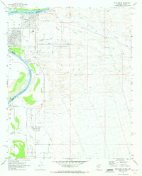
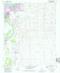
1970 Map of Davis Dam SE
USGS Topo · Published 1973About this map
The Colorado River serves as the focal point for this early 1970s survey, marking the border between Arizona and Nevada. On the eastern bank, the emerging residential blocks of Bullhead City and Riviera indicate a period of rapid mid-century growth in the Mohave Valley. The map highlights a landscape in transition, where new suburban arteries like Marina Blvd and Hancock Road meet the arid expanse of the desert.
Find a feature on this map
27 named features on this map. Tap any name to fly to it.
Don’t see what you’re looking for? This feature index may not catch every label — zoom into the map to look around manually.
Map Details
Editions of this 1970 Davis Dam SE Map
5 editions found
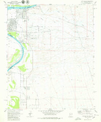
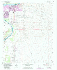
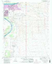
Other maps of this area

1886 · Camp Mohave
USGS Topo · 1:250,000

1892 · Camp Mohave
USGS Topo · 1:250,000

1903 · Needles
USGS Topo · 1:125,000

1904 · Needles Special
USGS Topo · 1:125,000

1926 · Mohave City
USGS Topo · 1:96,000

1942 · Camp Mohave
USGS Topo · 1:250,000

1947 · Kingman
USGS Topo · 1:250,000

1948 · Kingman
USGS Topo · 1:250,000

1950 · Davis Dam
USGS Topo · 1:62,500

1950 · Needles
USGS Topo · 1:62,500