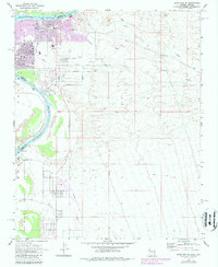
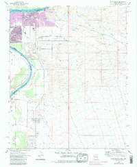
1970 Map of Davis Dam SE
USGS Topo · Published 1987About this map
The Fort Mojave Indian Reservation occupies the southwestern quadrant of this desert landscape, bounded by the sweeping curve of the Colorado River. This 1970 survey, later updated with 1980s urban extensions, captures a period of transition as suburban developments like Big Bend expanded eastward from the riverbank. Local history is anchored by the Hardyville Mill (Ruins) near the Clark and Mohave County line, a remnant of the area's 19th-century mining and milling heritage.
Find a feature on this map
23 named features on this map. Tap any name to fly to it.
Don’t see what you’re looking for? This feature index may not catch every label — zoom into the map to look around manually.
Map Details
Editions of this 1970 Davis Dam SE Map
5 editions found
Other maps of this area

1886 · Camp Mohave
USGS Topo · 1:250,000

1892 · Camp Mohave
USGS Topo · 1:250,000

1903 · Needles
USGS Topo · 1:125,000

1904 · Needles Special
USGS Topo · 1:125,000

1926 · Mohave City
USGS Topo · 1:96,000

1942 · Camp Mohave
USGS Topo · 1:250,000

1947 · Kingman
USGS Topo · 1:250,000

1948 · Kingman
USGS Topo · 1:250,000

1950 · Davis Dam
USGS Topo · 1:62,500

1950 · Needles
USGS Topo · 1:62,500