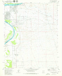
1970 Map of Davis Dam SE
USGS Topo · Published 1980About this map
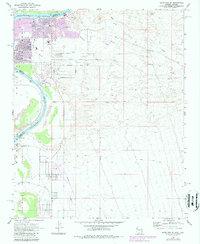
Fort Mojave Indian Reservation occupies much of the river valley in this 1970 survey, centered around the Fort Mojave (Site) and its associated Cem grave sites. The desert landscape is defined by the Colorado River as it passes through the Mohave Valley, flanked by the rising terrain of Black Mountain to the east. Modern expansion from Bullhead City is visible at the northern edge, showing early residential development along Riviera Dr and Ramar Road near the Chaparral Golf Course. Local history is captured in the presence of the Hardyville Mill (Ruins) and the original path of North Oatman Road. The map documents a period of transition as desert washes like Montana Wash meet the growing infrastructure of the Mohave HS and new suburban streets.
Find a feature on this map
26 named features on this map. Tap any name to fly to it.
Don’t see what you’re looking for? This feature index may not catch every label — zoom into the map to look around manually.
Map Details
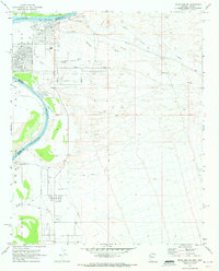
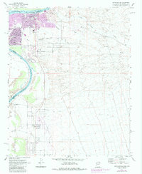
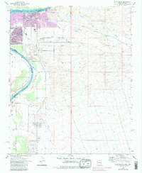
Editions of this 1970 Davis Dam SE Map
5 editions found
Other maps of this area

1886 · Camp Mohave
USGS Topo · 1:250,000

1892 · Camp Mohave
USGS Topo · 1:250,000

1903 · Needles
USGS Topo · 1:125,000

1904 · Needles Special
USGS Topo · 1:125,000

1926 · Mohave City
USGS Topo · 1:96,000

1942 · Camp Mohave
USGS Topo · 1:250,000

1947 · Kingman
USGS Topo · 1:250,000

1948 · Kingman
USGS Topo · 1:250,000

1950 · Davis Dam
USGS Topo · 1:62,500

1950 · Needles
USGS Topo · 1:62,500