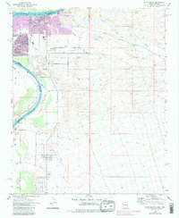
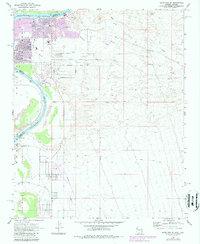
1970 Map of Davis Dam SE
USGS Topo · Published 1987About this map
The Fort Mojave Indian Reservation and the riverfront communities of Bullhead City and Riviera define this reach of the Colorado River at the dawn of the 1970s. This survey records the significant transition of the landscape from its historic roots toward modern residential development, most notably where the purple-tinted urban extensions of the 1980s revision overlay the older grid. Cultural heritage remains visible at the Fort Mojave (Site) and the Hardyville Mill (Ruins) further north along the river bank. To the east, the terrain rises sharply toward Black Mountain, dissected by drainage systems like Montana Wash and Silver Creek. Local institutions such as Mohave High Sch and the Chaparral Golf Course are situated near the growing residential corridor of Baseline Road and Lakeside Drive.
Find a feature on this map
28 named features on this map. Tap any name to fly to it.
Don’t see what you’re looking for? This feature index may not catch every label — zoom into the map to look around manually.
Map Details
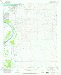
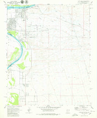
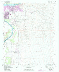
Editions of this 1970 Davis Dam SE Map
5 editions found
Other maps of this area

1886 · Camp Mohave
USGS Topo · 1:250,000

1892 · Camp Mohave
USGS Topo · 1:250,000

1903 · Needles
USGS Topo · 1:125,000

1904 · Needles Special
USGS Topo · 1:125,000

1926 · Mohave City
USGS Topo · 1:96,000

1942 · Camp Mohave
USGS Topo · 1:250,000

1947 · Kingman
USGS Topo · 1:250,000

1948 · Kingman
USGS Topo · 1:250,000

1950 · Davis Dam
USGS Topo · 1:62,500

1950 · Needles
USGS Topo · 1:62,500