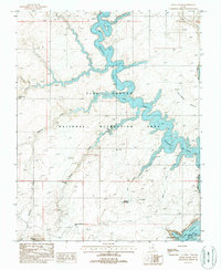
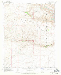
1987 Map of Davis Gulch
USGS Topo · Published 1988About this map
The Escalante River and Colorado River dominate this desert landscape, where the rising waters of Lake Powell have filled deep sandstone canyons. This 1980s-era study captures the intersection of natural geologic wonders and modern recreational infrastructure within the Glen Canyon National Recreation Area. Significant cultural and natural landmarks are noted throughout the drainage basins, including the legendary Hole-in-the-Rock and the nearby Hole-in-the-Rock Well. The map highlights the intricate network of side canyons like Explorer Canyon and Davis Gulch, which contain distinctive features such as Broken Bow Arch and the Cathedral in the Desert. These labels provide essential context for understanding how the inundation of the canyon system affected local topography and access to historical pioneer routes.
Find a feature on this map
21 named features on this map. Tap any name to fly to it.
Don’t see what you’re looking for? This feature index may not catch every label — zoom into the map to look around manually.
Map Details
Editions of this 1987 Davis Gulch Map
3 editions found
Other maps of this area

1886 · Escalante
USGS Topo · 1:250,000

1886 · Henry Mountains
USGS Topo · 1:250,000

1892 · Henry Mountains
USGS Topo · 1:250,000

1953 · Cummings Mesa
USGS Topo · 1:62,500

1953 · The Rincon
USGS Topo · 1:62,500

1953 · Navajo Mountain
USGS Topo · 1:62,500

1956 · Escalante
USGS Topo · 1:250,000

1960 · Escalante
USGS Topo · 1:250,000
1968 · Sooner Bench
USGS Topo · 1:24,000
1968 · King Mesa
USGS Topo · 1:24,000