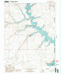
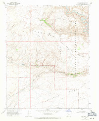
1987 Map of Davis Gulch
USGS Topo · Published 1993About this map
Hole-in-the-Rock Trail cuts across the sandstone landscape, following a historic pioneer route through the Glen Canyon National Recreation Area. This 1987 survey documents the canyon country of Kane County as the waters of Lake Powell rose to fill the branching arms of the Escalante River and Colorado River. The topography is defined by intricate drainage systems and natural features like Broken Bow Arch and LaGorce Arch, which sit above the winding canyons. Along the shoreline, the map identifies Cathedral in the Desert, a significant landmark within the flooded gorge. Near the southern edge of the sheet, the Hole-in-the-Rock Well and the namesake Hole-in-the-Rock passage provide a focused look at the physical challenges of early travel in this region.
Find a feature on this map
20 named features on this map. Tap any name to fly to it.
Don’t see what you’re looking for? This feature index may not catch every label — zoom into the map to look around manually.
Map Details
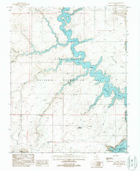
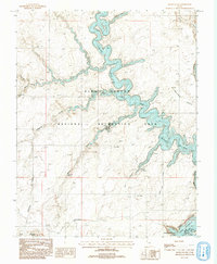
Editions of this 1987 Davis Gulch Map
3 editions found
Other maps of this area

1886 · Escalante
USGS Topo · 1:250,000

1886 · Henry Mountains
USGS Topo · 1:250,000

1892 · Henry Mountains
USGS Topo · 1:250,000

1953 · Cummings Mesa
USGS Topo · 1:62,500

1953 · The Rincon
USGS Topo · 1:62,500

1953 · Navajo Mountain
USGS Topo · 1:62,500

1956 · Escalante
USGS Topo · 1:250,000

1960 · Escalante
USGS Topo · 1:250,000
1968 · Sooner Bench
USGS Topo · 1:24,000
1968 · King Mesa
USGS Topo · 1:24,000