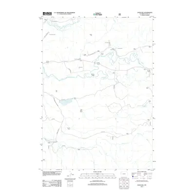
2012 Map of Davis Hill
USGS Topo · Published 2012About this map
Grand Teton National Park and the surrounding wilderness of Teton County are documented in this 2012 survey, revealing a landscape defined by expansive ranching operations and complex drainages. Significant agricultural holdings such as Three Rivers Ranch, Buffalo Valley Ranch, and Heart Six Ranch occupy the lowlands near the confluence of Pacific Creek and the Buffalo Fork. These working landscapes sit adjacent to protected recreational areas like the Lava Creek Campground and the high ground of Davis Hill.
Find a feature on this map
31 named features on this map. Tap any name to fly to it.
Don’t see what you’re looking for? This feature index may not catch every label — zoom into the map to look around manually.
Map Details
Editions of this 2012 Davis Hill Map
This is the sole edition of this map. No revisions or reprints were ever made.
Other maps of this area

1899 · Grand Teton
USGS Topo · 1:125,000

1901 · Grand Teton
USGS Topo · 1:125,000

1902 · Mt Leidy
USGS Topo · 1:125,000

1955 · Driggs
USGS Topo · 1:250,000

1958 · Driggs
USGS Topo · 1:250,000

1962 · Driggs
USGS Topo · 1:250,000

1965 · Davis Hill
USGS Topo · 1:24,000

1965 · Green Mountain
USGS Topo · 1:24,000

1965 · Rosies Ridge
USGS Topo · 1:24,000

1965 · Mount Leidy
USGS Topo · 1:24,000