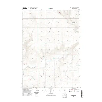
2013 Map of Davis Mountain SW
USGS Topo · Published 2013About this map
White Arrow Hot Spring and Bray Lake Ranch characterize this high-desert region of Gooding County, where water sources dictate the placement of ranching infrastructure and roadways. The landscape is defined by its drainages, notably Clover Cr and the E Fork Clover Cr, which cut through terrain featuring landmarks like Ferguson Flat and Honey Spring Canyon.
Find a feature on this map
23 named features on this map. Tap any name to fly to it.
Don’t see what you’re looking for? This feature index may not catch every label — zoom into the map to look around manually.
Map Details
Editions of this 2013 Davis Mountain SW Map
This is the sole edition of this map. No revisions or reprints were ever made.
Other maps of this area

1892 · Camas Prairie
USGS Topo · 1:125,000

1893 · Camas Prairie
USGS Topo · 1:125,000

1948 · Ticeska
USGS Topo · 1:24,000

1949 · Ticeska
USGS Topo · 1:24,000

1949 · Pasadena Valley
USGS Topo · 1:62,500

1949 · Bliss
USGS Topo · 1:24,000

1949 · Gooding Butte
USGS Topo · 1:24,000

1950 · Gooding Butte
USGS Topo · 1:24,000

1950 · Bliss
USGS Topo · 1:24,000

1955 · Twin Falls
USGS Topo · 1:250,000