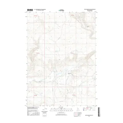
2017 Map of Davis Mountain SW
USGS Topo · Published 2017About this map
White Arrow Hot Spring and Honey Spring Canyon define the hydraulic character of this high Idaho desert landscape. The terrain is a network of seasonal water sources and intermittent drainages, where life revolves around reliable spots like Rattler Reservoir, Reager Waterhole, and Cold Spring. The map documents a sparsely populated region of Gooding County where the primary infrastructure consists of long-established thoroughfares such as Hill City Rd and Clover Creek Rd. These routes connect isolated landmarks like Ferguson Flat and Bray Lake, which reflect the ranching and resource-driven geography of the Snake River Plain hinterlands. The presence of several named springs, including Halogeton Spring and Coyote Hill Spring, highlights the critical importance of groundwater for survival and land use in this arid environment during the early 21st century.
Find a feature on this map
21 named features on this map. Tap any name to fly to it.
Don’t see what you’re looking for? This feature index may not catch every label — zoom into the map to look around manually.
Map Details
Editions of this 2017 Davis Mountain SW Map
This is the sole edition of this map. No revisions or reprints were ever made.
Other maps of this area

1892 · Camas Prairie
USGS Topo · 1:125,000

1893 · Camas Prairie
USGS Topo · 1:125,000

1948 · Ticeska
USGS Topo · 1:24,000

1949 · Ticeska
USGS Topo · 1:24,000

1949 · Pasadena Valley
USGS Topo · 1:62,500

1949 · Bliss
USGS Topo · 1:24,000

1949 · Gooding Butte
USGS Topo · 1:24,000

1950 · Gooding Butte
USGS Topo · 1:24,000

1950 · Bliss
USGS Topo · 1:24,000

1955 · Twin Falls
USGS Topo · 1:250,000