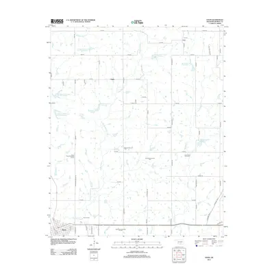
2012 Map of Davis
USGS Topo · Published 2012About this map
The town of Davis anchors the southwestern corner of this survey, positioned where the landscape begins to transition into a complex network of oil production and water management. Extensive petroleum activity is evident across the region, from the Northeast Davis Oil Field to the Southwest Sandy Creek Oil Field, marking the industrial character of this Murray County terrain. The rural areas are defined by a series of engineered water bodies designed for soil conservation and flood control, including the Kickapoo Sandy Creek Site K4 Reservoir and Chigley Sandy Creek Site 7 Reservoir. Smaller historical settlements like Chigley and Iona remain as significant local landmarks, with the Iona Cem and Sandy Baptist Church Cem providing valuable points of interest for genealogical research. Aviation is represented by the Crazy Horse Municipal Airport, located north of the Davis town center along the drainage of Chigley Sandy Cr.
Find a feature on this map
37 named features on this map. Tap any name to fly to it.
Don’t see what you’re looking for? This feature index may not catch every label — zoom into the map to look around manually.
Map Details
Editions of this 2012 Davis Map
This is the sole edition of this map. No revisions or reprints were ever made.
Other maps of this area

1898 · Pauls Valley
USGS Topo · 1:125,000

1901 · Stonewall
USGS Topo · 1:125,000

1901 · Tishomingo
USGS Topo · 1:125,000

1901 · Ardmore
USGS Topo · 1:125,000

1902 · Pauls Valley
USGS Topo · 1:125,000

1918 · Ardmore
USGS Topo · 1:125,000

1957 · Ardmore
USGS Topo · 1:250,000

1963 · Ardmore
USGS Topo · 1:250,000

1963 · Sulphur South
USGS Topo · 1:24,000

1964 · Turner Falls
USGS Topo · 1:24,000