
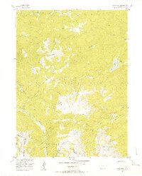
1955 Map of Davis Peak
USGS Topo · Published 1956About this map
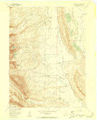
Routt National Forest dominates this mid-century survey of the high country along the border of Jackson and Routt Counties. This high-altitude landscape is defined by the Continental Divide and the Park Range, where the terrain drops sharply from peaks like Davis Peak and Red Elephant Mountain toward the valley floors. Evidence of early resource extraction is preserved here at a Sawmill (Aband) located near the northern State Line.
Find a feature on this map
30 named features on this map. Tap any name to fly to it.
Don’t see what you’re looking for? This feature index may not catch every label — zoom into the map to look around manually.
Map Details
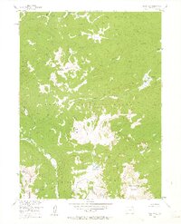
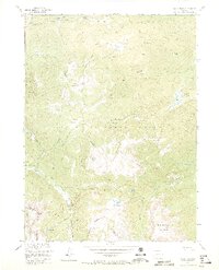
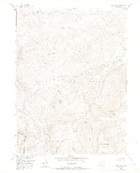
Editions of this 1955 Davis Peak Map
5 editions found
Other maps of this area

1911 · Hahns Peak
USGS Topo · 1:125,000

1913 · Hahns Peak
USGS Topo · 1:125,000

1939 · Saratoga
USGS Topo · 1:125,000

1954 · Rawlins
USGS Topo · 1:250,000

1954 · Craig
USGS Topo · 1:250,000

1955 · Mount Zirkel
USGS Topo · 1:24,000

1955 · Pearl
USGS Topo · 1:24,000
1956 · Boettcher Lake
USGS Topo · 1:24,000

1956 · Pearl
USGS Topo · 1:62,500

1957 · Craig
USGS Topo · 1:250,000