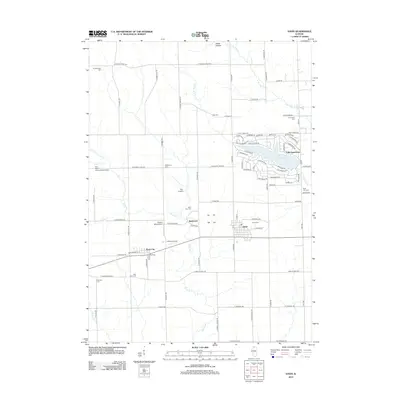
2012 Map of Davis
USGS Topo · Published 2012About this map
Davis and Rock City anchor the landscape of northern Stephenson County, Illinois, during this early twenty-first-century survey. The region is defined by a dense network of local burial grounds and family landmarks, including the Pioneers Cem and Rock City Cem near the southern boundary, and the Bethlehem Cem further north. The northeastern quadrant is dominated by the planned community around Lake Summerset, where a intricate web of residential streets such as Breckenboro Rd and Drexel Ave contrasts with the surrounding agricultural sections. Small-scale aviation is a notable characteristic of the area, evidenced by several localized strips like the Sue Rock International Airport, Ellis Airport, and Chester Wyss Airport. The terrain is drained by numerous waterways, including Rock Run, N Br Otter Cr, and S Br Otter Cr, which thread between rural settlements like Epplyanna and Happy Hollow.
Find a feature on this map
98 named features on this map. Tap any name to fly to it.
Don’t see what you’re looking for? This feature index may not catch every label — zoom into the map to look around manually.
Map Details
Editions of this 2012 Davis Map
This is the sole edition of this map. No revisions or reprints were ever made.
Other maps of this area

1893 · Brodhead
USGS Topo · 1:62,500

1920 · Monroe
USGS Topo · 1:62,500

1922 · Monroe
USGS Topo · 1:62,500

1932 · Pecatonica
USGS Topo · 1:62,500

1936 · Pecatonica
USGS Topo · 1:62,500

1939 · Freeport
USGS Topo · 1:48,000

1944 · Freeport
USGS Topo · 1:62,500

1954 · Rockford
USGS Topo · 1:250,000

1955 · Rockford
USGS Topo · 1:250,000

1958 · Rockford
USGS Topo · 1:250,000