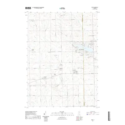
2021 Map of Davis
USGS Topo · Published 2021About this map
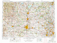
Lake Summerset serves as a modern focal point along the border of Stephenson and Winnebago Counties, its winding residential roads like Chadbourne Dr and Dresden Rd contrasting with the rectilinear grid of the surrounding agricultural landscape. This region of northern Illinois is defined by the drainage of Rock Run and its tributaries, including S Br Otter Cr and N Br Otter Cr, which cut through the high ground of Happy Hollow.
Find a feature on this map
95 named features on this map. Tap any name to fly to it.
Don’t see what you’re looking for? This feature index may not catch every label — zoom into the map to look around manually.
Map Details
Editions of this 2021 Davis Map
This is the sole edition of this map. No revisions or reprints were ever made.
Other maps of this area
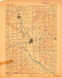
1893 · Brodhead
USGS Topo · 1:62,500
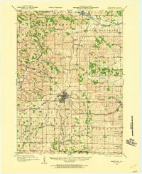
1920 · Monroe
USGS Topo · 1:62,500
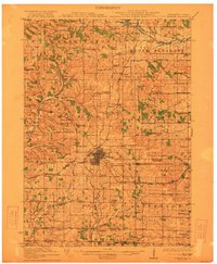
1922 · Monroe
USGS Topo · 1:62,500
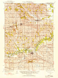
1932 · Pecatonica
USGS Topo · 1:62,500
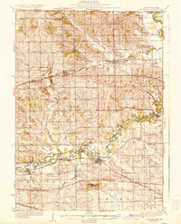
1936 · Pecatonica
USGS Topo · 1:62,500
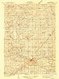
1939 · Freeport
USGS Topo · 1:48,000
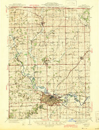
1944 · Freeport
USGS Topo · 1:62,500

1954 · Rockford
USGS Topo · 1:250,000

1955 · Rockford
USGS Topo · 1:250,000
1958 · Rockford
USGS Topo · 1:250,000