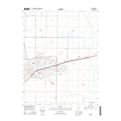
2015 Map of Davis
USGS Topo · Published 2015About this map
The city of Davis and its surrounding agricultural and residential landscapes define this 2015 study of the Sacramento Valley. The map details the transition from the dense street grid of the college town to the suburban layouts of El Macero and the open fields of the Central Valley. Vital water management systems are clearly marked, including the Willow Slough Bypass and the South Fork Putah Creek, which channel water across the flat terrain. Small, named locales like Swingle and Webster appear along the transportation corridors, while Davis Cemetery and Lake Spafford provide internal landmarks within the developed areas. The boundary between Yolo County and Solano County is traced along the southern portion of the map, illustrating the regional political geography.
Find a feature on this map
91 named features on this map. Tap any name to fly to it.
Don’t see what you’re looking for? This feature index may not catch every label — zoom into the map to look around manually.
Map Details
Editions of this 2015 Davis Map
This is the sole edition of this map. No revisions or reprints were ever made.
Other maps of this area

1907 · Woodland
USGS Topo · 1:62,500

1907 · Davisville
USGS Topo · 1:62,500

1908 · Vacaville
USGS Topo · 1:62,500

1908 · Courtland
USGS Topo · 1:62,500

1915 · Yolo
USGS Topo · 1:31,680

1915 · Swingle
USGS Topo · 1:31,680
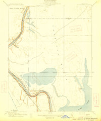
1915 · Elkhorn Weir
USGS Topo · 1:31,680

1915 · Merritt
USGS Topo · 1:31,680

1916 · Dixon
USGS Topo · 1:31,680

1916 · Grays Bend
USGS Topo · 1:31,680