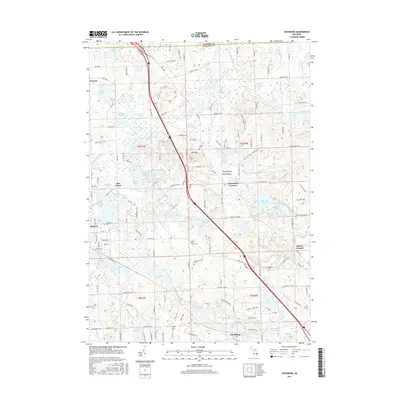
2017 Map of Davisburg
USGS Topo · Published 2017About this map
The glacial landscape of northwest Oakland County is defined here by a dense cluster of kettle lakes and the headwaters of Thread Creek and Swartz Creek. In the southern portion of the sheet, the settlement of Davisburg sits near the Davisburg Cem, while the village of Holly anchors the western edge along Lakeside Cem. This 2017 survey details a region where modern infrastructure, including the prominent path of I-75, cuts through established crossroads like Groveland Corners and Five Points. Genealogists will find numerous burial sites preserved across the township, from the isolated Bigelow Cem to the Hadley Cem near Mt Holly. The map also captures several distinctive water features, such as Wildwood Lake and the interestingly named Virgin Island and Devil Island within Stewart Lake.
Find a feature on this map
106 named features on this map. Tap any name to fly to it.
Don’t see what you’re looking for? This feature index may not catch every label — zoom into the map to look around manually.
Map Details
Editions of this 2017 Davisburg Map
This is the sole edition of this map. No revisions or reprints were ever made.
Other maps of this area

1907 · Pontiac
USGS Topo · 1:62,500

1909 · Milford
USGS Topo · 1:62,500

1920 · Holly
USGS Topo · 1:62,500

1922 · Holly
USGS Topo · 1:62,500

1936 · Highland
USGS Topo · 1:31,680

1936 · Clarkston
USGS Topo · 1:31,680

1942 · Highland
USGS Topo · 1:24,000

1943 · Holly
USGS Topo · 1:62,500

1943 · Clarkston
USGS Topo · 1:24,000

1943 · Ortonville
USGS Topo · 1:24,000