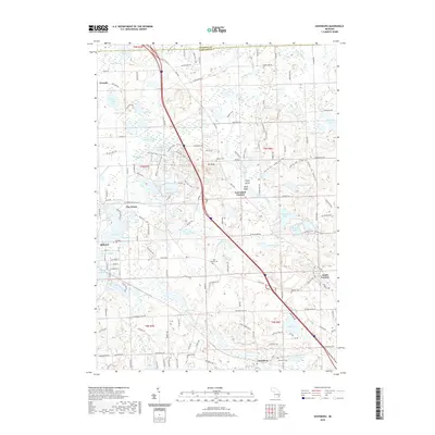
2019 Map of Davisburg
USGS Topo · Published 2019About this map
Davisburg and the southern edge of Holly anchor this 2019 survey of the Oakland County landscape, where the headwaters of the Shiawassee River wind through a dense network of kettle lakes and wetlands. The terrain is defined by glacial features like Mt Holly and a series of water bodies including Bush Lake, Rice Lake, and the sprawling Wildwood Lake. Several crossroads settlements such as Groveland Corners, Five Points, and Austin Corners suggest the historical travel patterns established before modern infrastructure.
Find a feature on this map
101 named features on this map. Tap any name to fly to it.
Don’t see what you’re looking for? This feature index may not catch every label — zoom into the map to look around manually.
Map Details
Editions of this 2019 Davisburg Map
This is the sole edition of this map. No revisions or reprints were ever made.
Other maps of this area
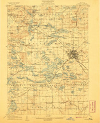
1907 · Pontiac
USGS Topo · 1:62,500
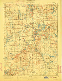
1909 · Milford
USGS Topo · 1:62,500
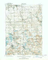
1920 · Holly
USGS Topo · 1:62,500
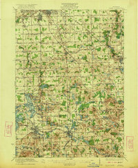
1922 · Holly
USGS Topo · 1:62,500
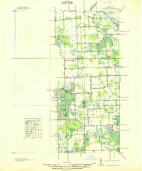
1936 · Highland
USGS Topo · 1:31,680
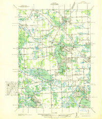
1936 · Clarkston
USGS Topo · 1:31,680
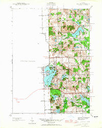
1942 · Highland
USGS Topo · 1:24,000
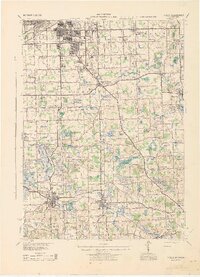
1943 · Holly
USGS Topo · 1:62,500
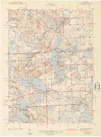
1943 · Clarkston
USGS Topo · 1:24,000
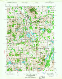
1943 · Ortonville
USGS Topo · 1:24,000