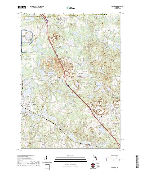
2023 Map of Davisburg
USGS Topo · Published 2023About this map
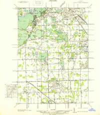
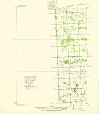
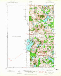
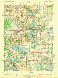
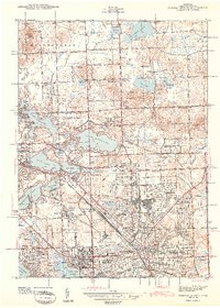
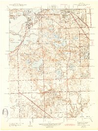
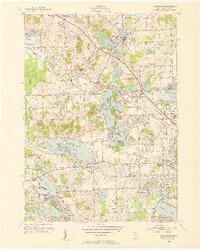
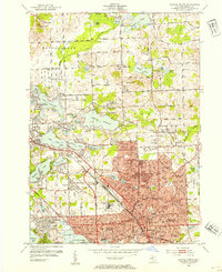
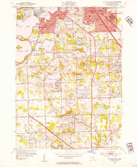
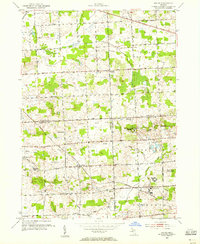
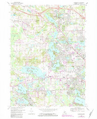
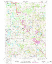
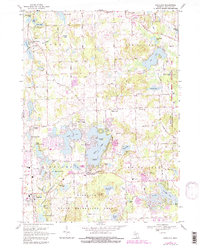
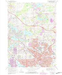
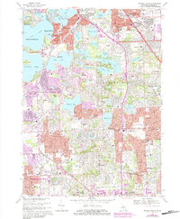
The village of Holly and the surrounding township terrain are defined by a complex network of glacial kettle lakes and the headwaters of the Shiawassee River. This 2023 survey provides a detailed look at the modern landscape, where historical crossroads like Groveland Corners and Austin Corners persist alongside large-scale memorial sites. The northern portion is heavily shaped by the Great Lakes National Cemetery near Fagan Lake, while the southern reaches center on the community of Davisburg. The map reveals the area's intricate hydrology, from the dammed Stiffs Mill Pond to the clustered Holdridge Lakes, illustrating how residential development and recreation have integrated with the natural wetlands of northwest Oakland County.
Find a feature on this map
129 named features on this map. Tap any name to fly to it.
Don’t see what you’re looking for? This feature index may not catch every label — zoom into the map to look around manually.
Map Details
Editions of this 2023 Davisburg Map
This is the sole edition of this map. No revisions or reprints were ever made.
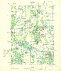
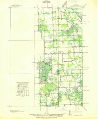
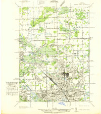
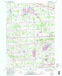
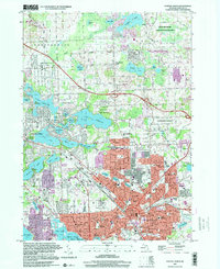
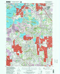
Historical Maps of Davisburg Through Time
30 maps found
1936 Clarkston
Oakland County, MI
1936 Highland
Oakland County, MI
1936 Pontiac North
Oakland County, MI
1936 Pontiac South
Oakland County, MI
1936 Salem
Oakland County, MI
1942 Highland
Oakland County, MI
1943 Clarkston
Oakland County, MI
1943 Pontiac North
Oakland County, MI
1943 Pontiac South
Oakland County, MI
1945 Davisburg
Oakland County, MI
1945 Highland
Oakland County, MI

1945 Salem
Oakland County, MI
1952 Clarkston
Oakland County, MI
1952 Pontiac North
Oakland County, MI
1952 Pontiac South
Oakland County, MI
1953 Salem
Oakland County, MI
1968 Clarkston
Oakland County, MI
1968 Davisburg
Oakland County, MI
1968 Highland
Oakland County, MI
1968 Pontiac North
Oakland County, MI
1968 Pontiac South
Oakland County, MI
1969 Salem
Oakland County, MI
1997 Pontiac North
Oakland County, MI
1997 Pontiac South
Oakland County, MI
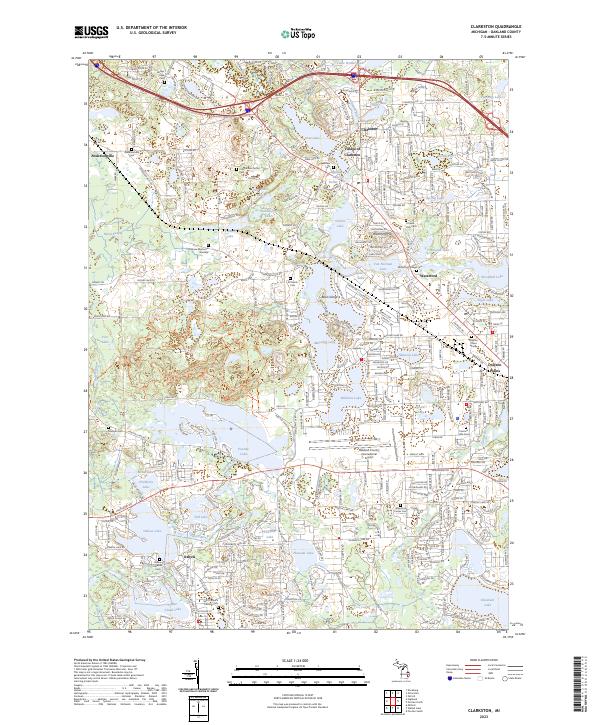
2023 Clarkston
Oakland County, MI
2023 Davisburg
Oakland County, MI
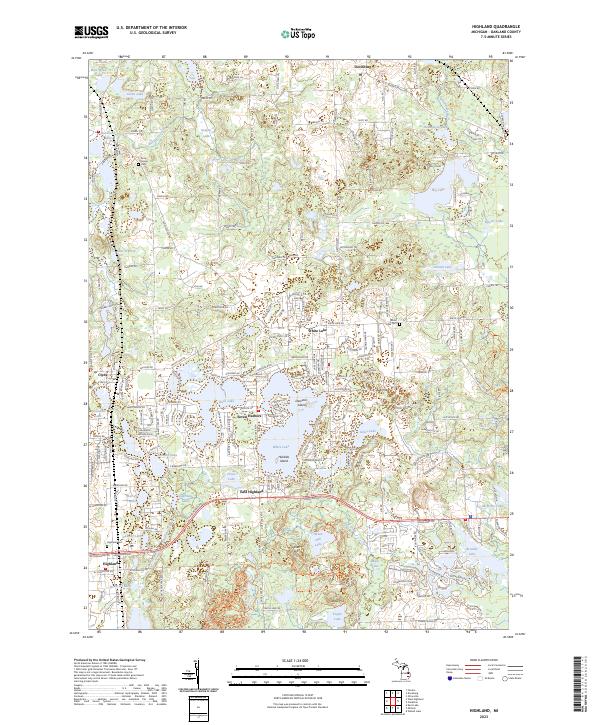
2023 Highland
Oakland County, MI
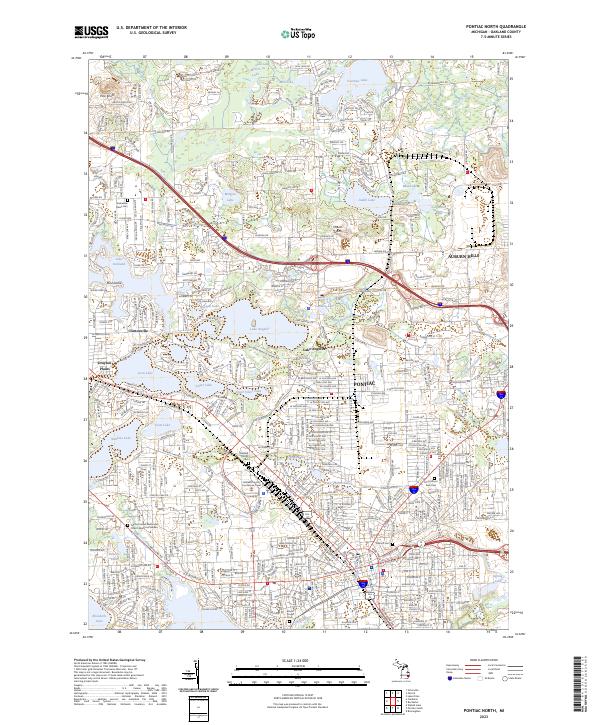
2023 Pontiac North
Oakland County, MI
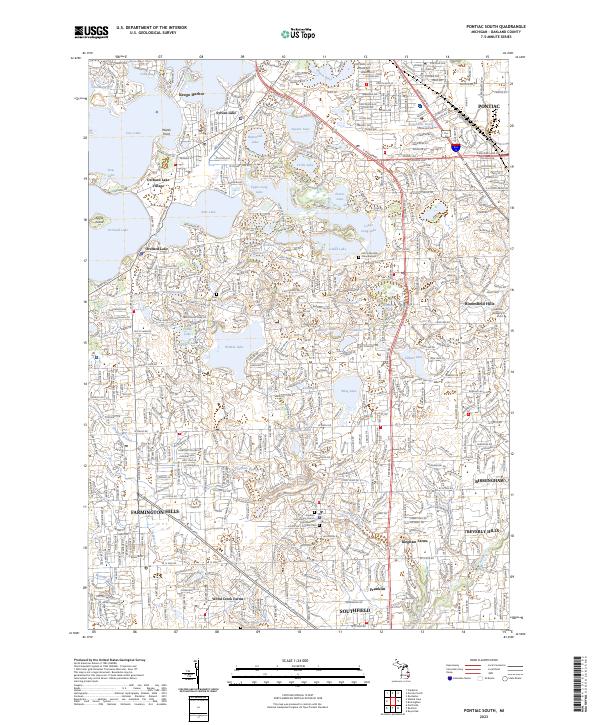
2023 Pontiac South
Oakland County, MI
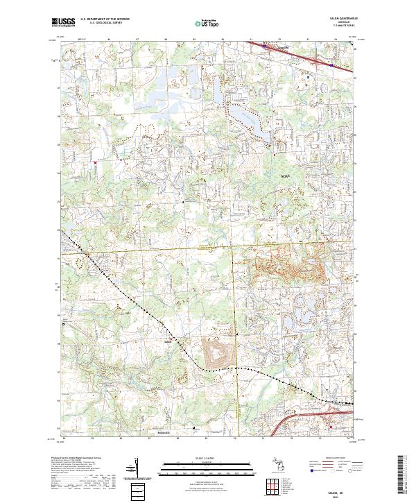
2023 Salem
Oakland County, MI
Featured Locations
- Grand Blanc Charter Township, MI
- Groveland Township, MI
- Rose Township, MI
- Springfield Charter Township, MI
- Holly, Holly Township