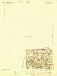
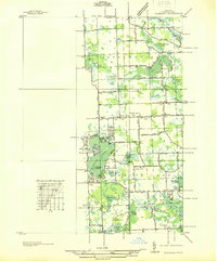
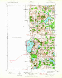
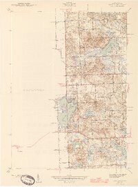
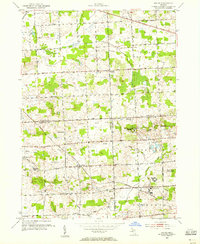
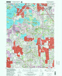
1945 Map of Davisburg
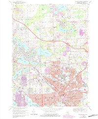
USGS Topo · Published 1945This historical map portrays the area of Davisburg in 1945, primarily covering Oakland County as well as portions of Genesee County. Featuring a scale of 1:24000, this map provides a highly detailed snapshot of the terrain, roads, buildings, counties, and historical landmarks in the Davisburg region at the time. Published in 1945, it is one of 3 known editions of this map due to revisions or reprints.
Find a feature on this map
21 named features on this map. Tap any name to fly to it.
Don’t see what you’re looking for? This feature index may not catch every label — zoom into the map to look around manually.
Map Details
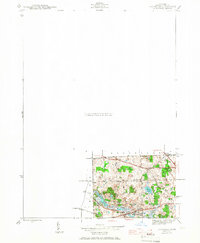
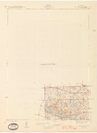
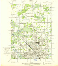
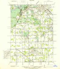
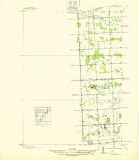
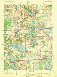
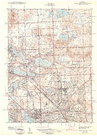
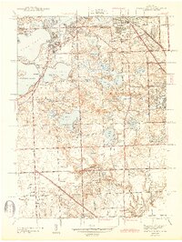
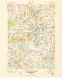
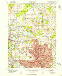
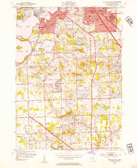
Editions of this 1945 Davisburg Map
3 editions found
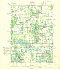
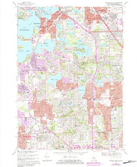
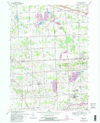
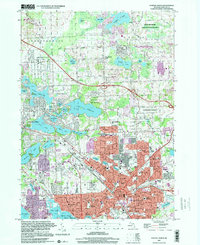
Historical Maps of Austin Corners Through Time
24 maps found
1936 Clarkston
Oakland County, MI
1936 Highland
Oakland County, MI
1936 Pontiac North
Oakland County, MI
1936 Pontiac South
Oakland County, MI
1936 Salem
Oakland County, MI
1942 Highland
Oakland County, MI
1943 Clarkston
Oakland County, MI
1943 Pontiac North
Oakland County, MI
1943 Pontiac South
Oakland County, MI
1945 Davisburg
Oakland County, MI
1945 Highland
Oakland County, MI

1945 Salem
Oakland County, MI
1952 Clarkston
Oakland County, MI
1952 Pontiac North
Oakland County, MI
1952 Pontiac South
Oakland County, MI
1953 Salem
Oakland County, MI
1968 Clarkston
Oakland County, MI
1968 Davisburg
Oakland County, MI
1968 Highland
Oakland County, MI
1968 Pontiac North
Oakland County, MI
1968 Pontiac South
Oakland County, MI
1969 Salem
Oakland County, MI
1997 Pontiac North
Oakland County, MI
1997 Pontiac South
Oakland County, MI
Featured Locations
- Atlas Township, MI
- Groveland Township, MI
- Holly Township, MI
- Springfield Charter Township, MI
- Holly, Holly Township