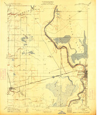
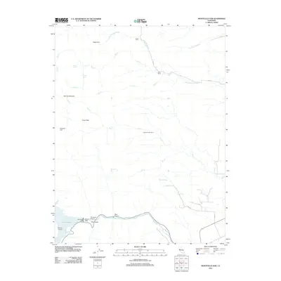
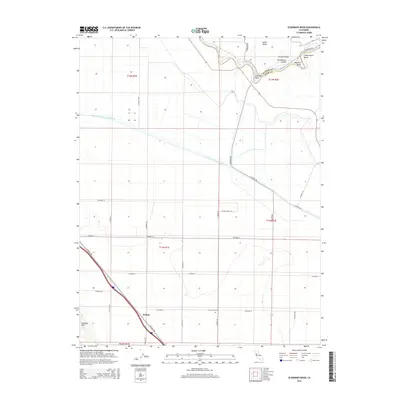
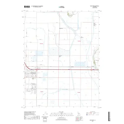
1907 Map of Davisville
USGS Topo · Published 1913About this map
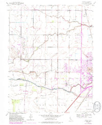
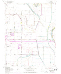
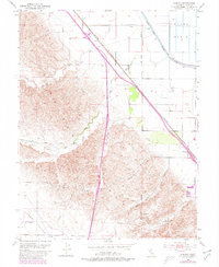
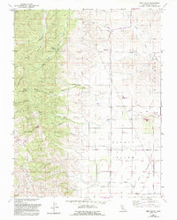
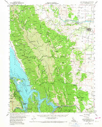
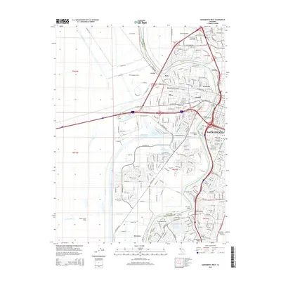
The Sacramento River meanders through the heart of the Yolo and Sacramento county borderlands, defining a landscape shaped by seasonal flooding and early hydraulic engineering. This 1905 survey captures the transition of Davisville before its name was shortened to Davis, situated at the junction of the Southern Pacific rail lines. Along the river, a complex network of bars and shoals like Twelvemile Bar and Sixmile Bar required active management, evidenced by the Elkhorn Weir and the Pumping Plant near the city of Sacramento. To the west, the ephemeral nature of the terrain is marked by Cache Creek Sink and the expansive Tule Canal, which managed runoff between the rail corridor and the river's Boundary Line. Genealogists may find interest in small riverfront settlements such as Washington Broderick P.O. and Sutterville, or the rural Lisbon School located near the Brickyard and Claypit industries.
Find a feature on this map
54 named features on this map. Tap any name to fly to it.
Don’t see what you’re looking for? This feature index may not catch every label — zoom into the map to look around manually.
Map Details
Editions of this 1907 Davisville Map
2 editions found

Historical Maps of Sacramento Through Time
55 maps found
1907 Davisville
Yolo County, CA

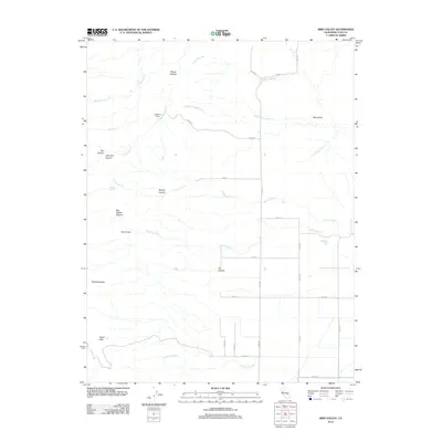
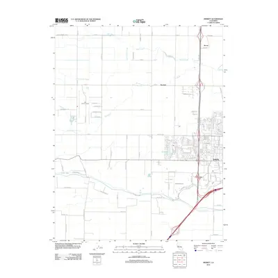
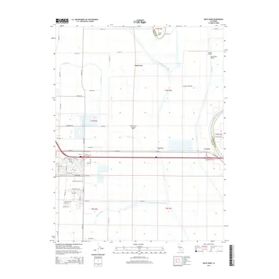
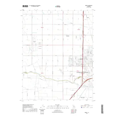
1915 Merritt
Yolo County, CA

1915 Ronda
Yolo County, CA

1915 Swingle
Yolo County, CA

1916 Babel Slough
Yolo County, CA

1916 Grays Bend
Yolo County, CA

1916 Jacobs Corner
Yolo County, CA

1916 Lovdal
Yolo County, CA
1916 Zamora
Yolo County, CA

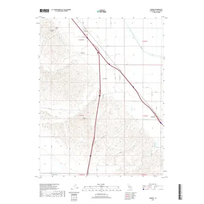
1924 Capay
Yolo County, CA

1943 Capay
Yolo County, CA

1945 Capay
Yolo County, CA

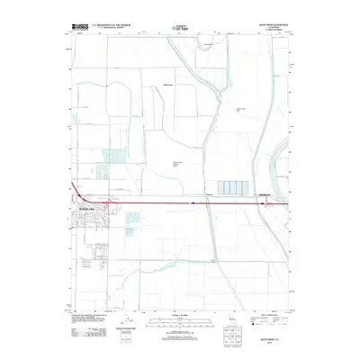
1948 Sacramento West
Yolo County, CA
1949 Sacramento West
Yolo County, CA
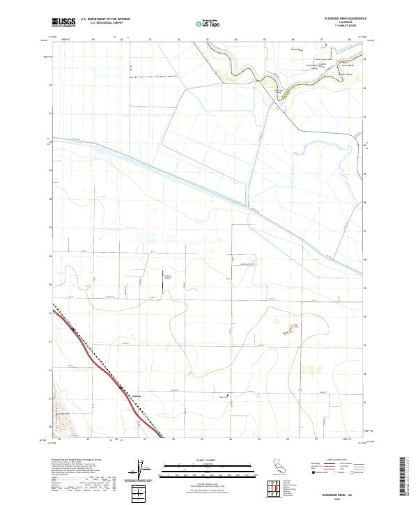
1952 Eldorado Bend
Yolo County, CA
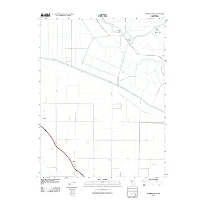
1952 Merritt
Yolo County, CA
1953 Grays Bend
Yolo County, CA
1953 Zamora
Yolo County, CA
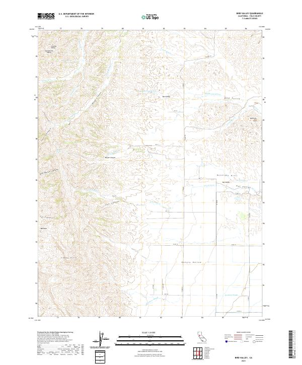
1959 Bird Valley
Yolo County, CA
1959 Lake Berryessa
Yolo County, CA
1959 Monticello Dam
Yolo County, CA
1967 Sacramento West
Yolo County, CA

1992 Merritt
Yolo County, CA

1992 Sacramento West
Yolo County, CA
1992 Zamora
Yolo County, CA
2012 Bird Valley
Yolo County, CA
2012 Eldorado Bend
Yolo County, CA
2012 Grays Bend
Yolo County, CA
2012 Merritt
Yolo County, CA
2012 Monticello Dam
Yolo County, CA
2012 Sacramento West
Yolo County, CA
2012 Zamora
Yolo County, CA
2015 Bird Valley
Yolo County, CA
2015 Eldorado Bend
Yolo County, CA
2015 Grays Bend
Yolo County, CA
2015 Merritt
Yolo County, CA
2015 Monticello Dam
Yolo County, CA
2015 Sacramento West
Yolo County, CA
2015 Zamora
Yolo County, CA
2018 Bird Valley
Yolo County, CA
2018 Eldorado Bend
Yolo County, CA
2018 Grays Bend
Yolo County, CA
2018 Merritt
Yolo County, CA
2018 Monticello Dam
Yolo County, CA
2018 Sacramento West
Yolo County, CA
2018 Zamora
Yolo County, CA
2021 Bird Valley
Yolo County, CA
2021 Grays Bend
Yolo County, CA

2021 Monticello Dam
Yolo County, CA
2022 Eldorado Bend
Yolo County, CA
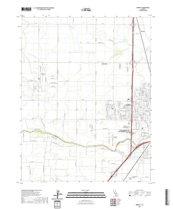
2022 Merritt
Yolo County, CA
2022 Sacramento West
Yolo County, CA
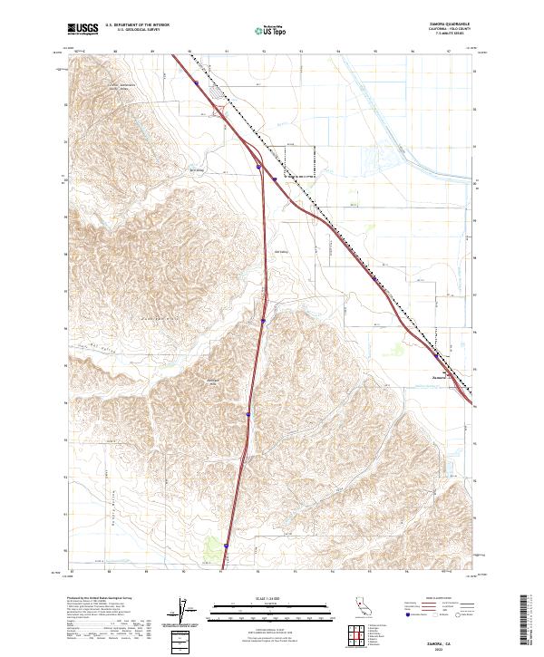
2022 Zamora
Yolo County, CA
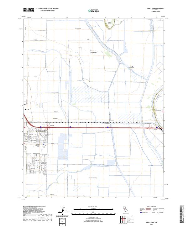
2023 Grays Bend
Yolo County, CA

2023 Sacramento West
Yolo County, CA