
1961 Map of Dawn
USGS Topo · Published 1962About this map
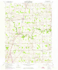
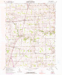
The Stillwater River snakes through the heart of this Darke County landscape, defining the character of the agricultural terrain between Dawn and Beamsville. This early 1960s survey captures a transition point for rural infrastructure, where two major rail corridors, the New York Central and the Pennsylvania lines, intersect the grid of family-named farm roads. The map provides significant detail for genealogists, marking numerous local landmarks such as Stelvideo Cem, Ansonia Cem, and the Childrens Home near Bolton. Small settlements like Frenchtown, Pikeville, and Horatio are clearly delineated, showing the density of community life centered around local churches like St Johns Ch and Oak Grove Ch. The presence of a Roadside Park along the river and a Radio Tower near the southern boundary reflects the gradual modernization of this classic Ohio farming district.
Find a feature on this map
70 named features on this map. Tap any name to fly to it.
Don’t see what you’re looking for? This feature index may not catch every label — zoom into the map to look around manually.
Map Details
Editions of this 1961 Dawn Map
3 editions found
Other maps of this area

1908 · St. Henry
USGS Topo · 1:62,500

1909 · Loramie
USGS Topo · 1:62,500

1911 · Loramie
USGS Topo · 1:62,500

1911 · Covington
USGS Topo · 1:62,500

1944 · Covington
USGS Topo · 1:62,500

1944 · Loramie
USGS Topo · 1:62,500

1953 · Muncie
USGS Topo · 1:250,000

1956 · Muncie
USGS Topo · 1:250,000
1961 · Greenville East
USGS Topo · 1:24,000
1961 · Rossburg
USGS Topo · 1:24,000