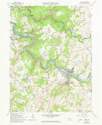
1964 Map of Dawson
USGS Topo · Published 1973About this map
The Youghiogheny River carves a deep, winding path through this corner of Fayette County, dictating the placement of railroads and industrial settlements. Along its banks, the Baltimore and Ohio, Norfolk and Western, and Pittsburgh and Lake Erie railroads support a landscape defined by extraction, with numerous Strip Mines and the historic Alliance Furnace near Banning. The riverfront towns of Dawson and Layton sit at the center of this transportation network, while the interior uplands host established farming communities like Flatwoods and Vanderbilt. Genealogists will find several notable burial sites including the Dickerson Run-Union Cemetery and Bowman-Flatwoods Cemetery. Recreational and social landmarks also appear, from the Linden Hall Country Club near Linden Lake to the Fairgrounds east of the river.
Find a feature on this map
66 named features on this map. Tap any name to fly to it.
Don’t see what you’re looking for? This feature index may not catch every label — zoom into the map to look around manually.
Map Details
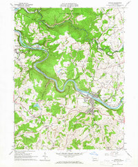
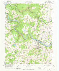
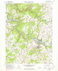
Editions of this 1964 Dawson Map
4 editions found
Other maps of this area

1900 · Uniontown
USGS Topo · 1:62,500

1900 · Masontown
USGS Topo · 1:62,500

1902 · Brownsville
USGS Topo · 1:62,500

1902 · Connellsville
USGS Topo · 1:62,500

1903 · Masontown
USGS Topo · 1:62,500

1906 · Brownsville
USGS Topo · 1:62,500

1931 · Brownsville
USGS Topo · 1:62,500

1931 · Connellsville
USGS Topo · 1:62,500

1931 · Uniontown
USGS Topo · 1:62,500

1931 · Masontown
USGS Topo · 1:62,500