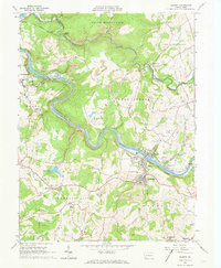
1964 Map of Dawson
USGS Topo · Published 1973About this map
The Youghiogheny River carves a deep, winding path through this portion of Fayette County, dictating the industrial and residential development of the early 1960s. The riverbanks are dominated by a heavy transportation infrastructure, where the Pittsburgh and Lake Erie RR and the Baltimore and Ohio RR mirror the water's curves, connecting riverfront towns like Dawson, Vanderbilt, and Liberty. These settlements represent the region's long-standing connection to coal and iron, evidenced by the numerous Strip Mines and the historic Alliance Furnace near Jacobs Creek.
Find a feature on this map
72 named features on this map. Tap any name to fly to it.
Don’t see what you’re looking for? This feature index may not catch every label — zoom into the map to look around manually.
Map Details
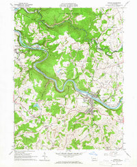
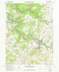
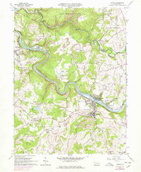
Editions of this 1964 Dawson Map
4 editions found
Other maps of this area

1900 · Uniontown
USGS Topo · 1:62,500

1900 · Masontown
USGS Topo · 1:62,500

1902 · Brownsville
USGS Topo · 1:62,500

1902 · Connellsville
USGS Topo · 1:62,500

1903 · Masontown
USGS Topo · 1:62,500

1906 · Brownsville
USGS Topo · 1:62,500

1931 · Brownsville
USGS Topo · 1:62,500

1931 · Connellsville
USGS Topo · 1:62,500

1931 · Uniontown
USGS Topo · 1:62,500

1931 · Masontown
USGS Topo · 1:62,500