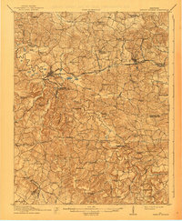
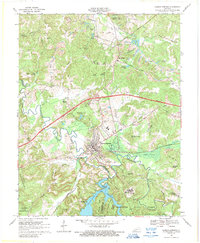
1911 Map of Dawson Springs
USGS Topo · Published 1938About this map
Dawson Springs sits at the heart of this landscape, where the Illinois Central RR meets the winding Tradewater River. In the early twentieth century, this region across the borders of Hopkins and Christian counties was a densely populated patchwork of rural education and worship, evidenced by the high concentration of named institutions like the Mt Carmel School and New Bethlehem Church. Transport and commerce are defined by the convergence of major rail lines and early thoroughfares such as the Cadiz Road and Hopkinsville Road.
Find a feature on this map
77 named features on this map. Tap any name to fly to it.
Don’t see what you’re looking for? This feature index may not catch every label — zoom into the map to look around manually.
Map Details
Editions of this 1911 Dawson Springs Map
2 editions found
Historical Maps of Dawson Springs Through Time
9 maps found
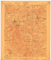
1909 Dawson Springs
Hopkins County, KY
1911 Dawson Springs
Hopkins County, KY
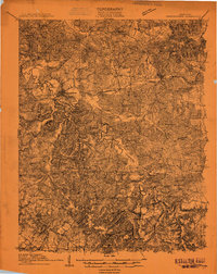
1954 Dawson Springs
Hopkins County, KY
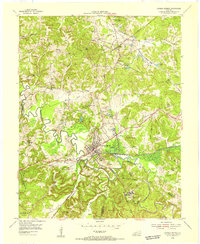
1968 Dawson Springs
Hopkins County, KY

2010 Dawson Springs
Hopkins County, KY

2013 Dawson Springs
Hopkins County, KY

2016 Dawson Springs
Hopkins County, KY

2019 Dawson Springs
Hopkins County, KY
2022 Dawson Springs
Hopkins County, KY