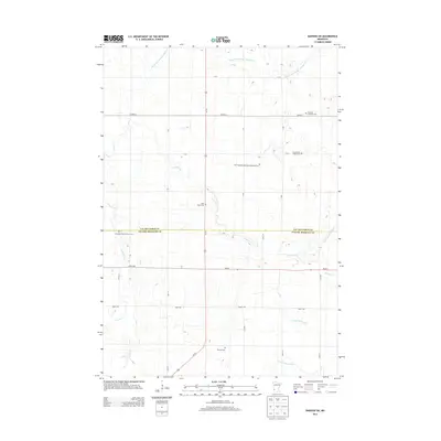
2013 Map of Dawson SW
USGS Topo · Published 2013About this map
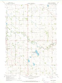
Swedish and local heritage defines this rural landscape along the border of Lac qui Parle Co and Yellow Medicine Co. The map reveals a high concentration of denominational burying grounds, including the Swedish Lutheran Cem, First Swedish Methodist Episcopal Cem, and Providence Valley Cem, suggesting the strong ethnic and religious foundations of the early agricultural settlers. The terrain is defined by a complex drainage system, where the Lac qui Parle River and its tributaries like Lazarus Cr and Spring Cr are augmented by engineered waterways such as County Ditch Number Eightyfive. This combination of natural watercourses and county ditches illustrates the historical effort to manage the prairie for farming. Transportation follows a strict grid, anchored by Us-75 and MN-67, connecting the scattered homesteads and community centers like the Saint Johns Cem and Antelope Hills Christian Cem.
Find a feature on this map
33 named features on this map. Tap any name to fly to it.
Don’t see what you’re looking for? This feature index may not catch every label — zoom into the map to look around manually.
Map Details
Editions of this 2013 Dawson SW Map
This is the sole edition of this map. No revisions or reprints were ever made.
Other maps of this area

1953 · Watertown
USGS Topo · 1:250,000

1958 · Watertown
USGS Topo · 1:250,000

1967 · Canby
USGS Topo · 1:24,000

1967 · Dawson SW
USGS Topo · 1:24,000

1967 · Porter
USGS Topo · 1:24,000
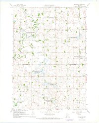
1967 · Providence
USGS Topo · 1:24,000
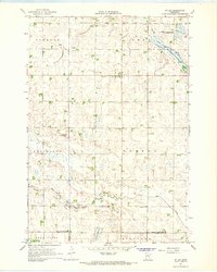
1967 · St Leo
USGS Topo · 1:24,000

1967 · Gary SE
USGS Topo · 1:24,000
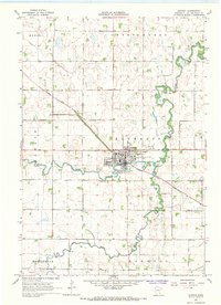
1967 · Dawson
USGS Topo · 1:24,000
1967 · Dawson NW
USGS Topo · 1:24,000