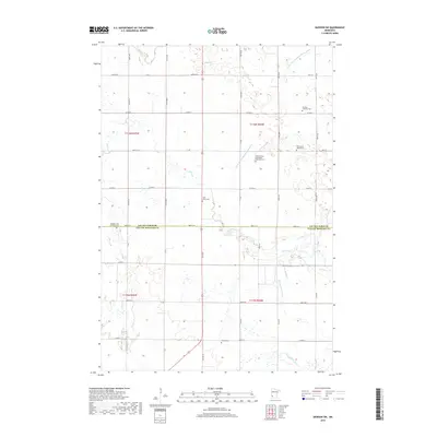
2019 Map of Dawson SW
USGS Topo · Published 2019About this map
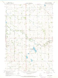
The Lac qui Parle River and its tributaries, including Lazarus Cr and Canby Cr, define the drainage of this prairie landscape spanning the border of Lac qui Parle and Yellow Medicine counties. The map reflects a highly organized agricultural grid, punctuated by numerous rural cemeteries that speak to the area's pioneer heritage. Many of these sites, such as the First Swedish Methodist Episcopal Cem and Swedish Lutheran Cem, point to the specific Scandinavian immigrant communities that settled these townships. The engineering of the land is evident in the systematic waterways like County Ditch Number Twentynine A, which were developed to manage the prairie's natural wetlands for farming. This 2019 survey documents a landscape where the original township lines of t116n r44w and t115n r45w remain the primary framework for both roads and property.
Find a feature on this map
48 named features on this map. Tap any name to fly to it.
Don’t see what you’re looking for? This feature index may not catch every label — zoom into the map to look around manually.
Map Details
Editions of this 2019 Dawson SW Map
This is the sole edition of this map. No revisions or reprints were ever made.
Other maps of this area

1953 · Watertown
USGS Topo · 1:250,000

1958 · Watertown
USGS Topo · 1:250,000

1967 · Canby
USGS Topo · 1:24,000

1967 · Dawson SW
USGS Topo · 1:24,000

1967 · Porter
USGS Topo · 1:24,000
1967 · Providence
USGS Topo · 1:24,000
1967 · St Leo
USGS Topo · 1:24,000

1967 · Gary SE
USGS Topo · 1:24,000
1967 · Dawson
USGS Topo · 1:24,000
1967 · Dawson NW
USGS Topo · 1:24,000