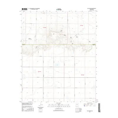
2017 Map of Day Canyon
USGS Topo · Published 2017About this map
Buffalo Lake sits at the center of this 2017 survey, marking a significant hydrologic feature in a landscape defined by sharp elevation changes along the border of Quay and Curry counties. This map captures the breaks and canyons that interrupt the high plains, where the terrain drops from the mesas of Park Hill and Round Mtn into the drainage systems of Day Canyon and Taylor Canyon. The survey illustrates the rigid, rectilinear grid of rural roads—such as Curry Road 47 and Quay Road 50—contrasted against the winding natural contours of the canyon floors and ridges like Boney Hill and Rusk Hill. This intersection of systematic land division and complex topography reveals the challenges of ranching and settlement in the New Mexico high desert during the early twenty-first century.
Find a feature on this map
33 named features on this map. Tap any name to fly to it.
Don’t see what you’re looking for? This feature index may not catch every label — zoom into the map to look around manually.
Map Details
Editions of this 2017 Day Canyon Map
This is the sole edition of this map. No revisions or reprints were ever made.
Other maps of this area

1954 · Tucumcari
USGS Topo · 1:250,000

1954 · Clovis
USGS Topo · 1:250,000

1958 · Clovis
USGS Topo · 1:250,000

1958 · Tucumcari
USGS Topo · 1:250,000

1968 · Rock Camp
USGS Topo · 1:24,000

1968 · Riley Camp
USGS Topo · 1:24,000

1968 · San Jon
USGS Topo · 1:24,000

1971 · Day Canyon
USGS Topo · 1:24,000

1971 · Wheatland
USGS Topo · 1:24,000

1971 · Broadview
USGS Topo · 1:24,000