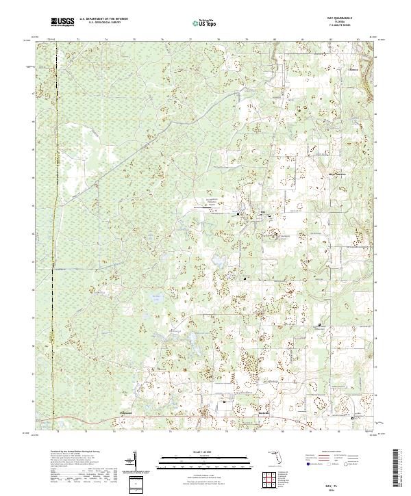
2024 Map of Day
USGS Topo · Published 2024About this map
San Pedro Bay and the swampy lowlands of northern Lafayette County dominate this landscape, where small agricultural settlements are interspersed among thick cypress bays and pine flatwoods. The community of Day serves as a central hub, surrounded by a network of family cemeteries and rural congregations including Roger Cem, Day Cem, and the Saint Luke Baptist Church Cem. The terrain is defined by its standing water and slow drainage, characterized by numerous named ponds and sloughs like Stanton Bay, Tiger Bay, and the winding Fire Pan Slough.
Find a feature on this map
99 named features on this map. Tap any name to fly to it.
Don’t see what you’re looking for? This feature index may not catch every label — zoom into the map to look around manually.
Map Details
Editions of this 2024 Day Map
This is the sole edition of this map. No revisions or reprints were ever made.
Other maps of this area

1954 · Fenholloway
USGS Topo · 1:24,000

1954 · Day SE
USGS Topo · 1:24,000

1954 · Day
USGS Topo · 1:24,000

1954 · Dowling Park
USGS Topo · 1:24,000

1954 · Day NW
USGS Topo · 1:24,000

1954 · Valdosta
USGS Topo · 1:250,000

1955 · Mayo
USGS Topo · 1:24,000

1958 · Valdosta
USGS Topo · 1:250,000

1958 · Madison SW
USGS Topo · 1:24,000

1958 · Madison SE
USGS Topo · 1:24,000