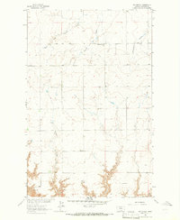
1964 Map of Day School
USGS Topo · Published 1966About this map
The drainage network of Twelvemile Coulee and Sixmile Coulee defines the landscape of this Montana territory during the mid-1960s. This survey, mapped as part of the Missouri River Basin development program, captures a rural area where social life centered around localized schoolhouses like Day Sch and Nelson Southside Sch. The presence of Watson in the southwest corner indicates the small-scale settlement patterns typical of Chouteau County ranching country at the time. The map's detail, including the West Fork Sixmile Coulee and Fisher Coulee, reveals how the topography of these deep coulees dictated the placement of roads and homesteads, following the natural contours of the land rather than a strict grid.
Find a feature on this map
9 named features on this map. Tap any name to fly to it.
Don’t see what you’re looking for? This feature index may not catch every label — zoom into the map to look around manually.
Map Details
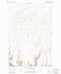
Editions of this 1964 Day School Map
2 editions found
Other maps of this area

1890 · Fort Benton
USGS Topo · 1:250,000

1892 · Fort Benton
USGS Topo · 1:250,000

1897 · Fort Benton
USGS Topo · 1:250,000

1906 · Lonesome
USGS Topo · 1:62,500

1919 · Big Sandy
USGS Topo · 1:125,000

1953 · Loma East
USGS Topo · 1:24,000

1953 · Loma West
USGS Topo · 1:24,000

1954 · Great Falls
USGS Topo · 1:250,000

1954 · Shelby
USGS Topo · 1:250,000

1957 · Great Falls
USGS Topo · 1:250,000