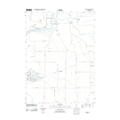
2012 Map of Daysville
USGS Topo · Published 2012About this map
The Rock River carves through this Ogle County landscape, defining the topography near Daysville and the striking Devils Backbone formation. The area is characterized by a mix of established agricultural lands and specialized facilities, including the County Poor Farm Airport and the Boy Scout grounds at Camp Lowden. The mapping reveals a distinct settlement pattern, with the planned residential layout of Lost Nation surrounding Lost Lake in the southwest, contrasting with the more traditional rural clusters at Watertown and Carthage.
Find a feature on this map
83 named features on this map. Tap any name to fly to it.
Don’t see what you’re looking for? This feature index may not catch every label — zoom into the map to look around manually.
Map Details
Editions of this 2012 Daysville Map
This is the sole edition of this map. No revisions or reprints were ever made.
Other maps of this area

1917 · Kings
USGS Topo · 1:62,500

1918 · Dixon
USGS Topo · 1:62,500

1918 · Kings
USGS Topo · 1:62,500

1922 · Oregon
USGS Topo · 1:62,500

1924 · Oregon
USGS Topo · 1:62,500

1950 · Dixon
USGS Topo · 1:62,500

1952 · Rochelle
USGS Topo · 1:62,500

1954 · Rockford
USGS Topo · 1:250,000

1955 · Rockford
USGS Topo · 1:250,000

1958 · Aurora
USGS Topo · 1:250,000