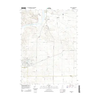
2015 Map of Daysville
USGS Topo · Published 2015About this map
The Rock River carves through this northern Illinois landscape, defining the topography from the prominent Devils Backbone ridge down to the river bottoms. This 2015 update captures a rural district at the boundary of Ogle and Lee counties, where long-established farming communities like Daysville and Watertown sit alongside modern developments such as Lost Nation and the waters of Lost Lake. The map reveals the social history of the region through its commemorative and institutional landmarks, including the County Poor Farm Airport and its associated County Farm Cemetery. Agricultural corridors follow the winding paths of Honey Creek and the Kyte River, while the local grid is punctuated by historic burial sites like Lighthouse Cemetery and Washington Grove Cemetery, providing essential data points for those researching family lineages in the Rock River valley.
Find a feature on this map
77 named features on this map. Tap any name to fly to it.
Don’t see what you’re looking for? This feature index may not catch every label — zoom into the map to look around manually.
Map Details
Editions of this 2015 Daysville Map
This is the sole edition of this map. No revisions or reprints were ever made.
Other maps of this area

1917 · Kings
USGS Topo · 1:62,500

1918 · Dixon
USGS Topo · 1:62,500

1918 · Kings
USGS Topo · 1:62,500

1922 · Oregon
USGS Topo · 1:62,500

1924 · Oregon
USGS Topo · 1:62,500

1950 · Dixon
USGS Topo · 1:62,500

1952 · Rochelle
USGS Topo · 1:62,500

1954 · Rockford
USGS Topo · 1:250,000

1955 · Rockford
USGS Topo · 1:250,000

1958 · Aurora
USGS Topo · 1:250,000