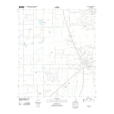
2010 Map of Dayton
USGS Topo · Published 2010About this map
Dayton serves as the primary hub in this Liberty County survey, where the convergence of industrial and agricultural landscapes is clearly defined. The area is marked by a significant network of private aviation and resource extraction, including the North Dayton Oil Field and Martha Oil Field. These fields point to the region's long-standing connection to the petroleum industry, which exists alongside rural settlements like Stilson, Ladd, and Kenefick. The landscape is intricately drained by the West Prong Old River and East Prong Old River, which wind through the southern sections of the quadrangle.
Find a feature on this map
64 named features on this map. Tap any name to fly to it.
Don’t see what you’re looking for? This feature index may not catch every label — zoom into the map to look around manually.
Map Details
Editions of this 2010 Dayton Map
This is the sole edition of this map. No revisions or reprints were ever made.
Other maps of this area

1916 · Crosby
USGS Topo · 1:24,000

1916 · Huffman
USGS Topo · 1:24,000

1919 · Crosby
USGS Topo · 1:31,680

1920 · Huffman
USGS Topo · 1:31,680

1943 · Liberty
USGS Topo · 1:125,000
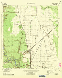
1944 · Crosby
USGS Topo · 1:31,680

1950 · Houston
USGS Topo · 1:250,000
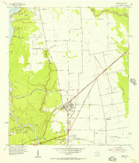
1954 · Crosby
USGS Topo · 1:24,000

1954 · Beaumont
USGS Topo · 1:250,000

1955 · Liberty
USGS Topo · 1:62,500