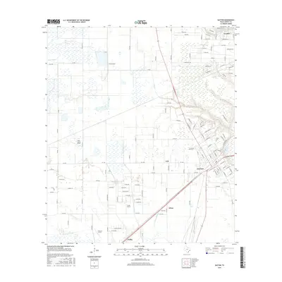
2016 Map of Dayton
USGS Topo · Published 2016About this map
The city of Dayton serves as the focal point of this coastal prairie landscape, where the confluence of rail lines and highways meets a complex network of waterways. To the north and west, the terrain is shaped by the meandering Cedar Bayou and Linney Cr, while the eastern portion is dominated by the broad wetlands surrounding the W Prong Old River and E Prong Old River. This area is characterized by a high density of private airfields, including West Liberty Airport, Pinoak Airport, Pavlat Airport, and Jet Ag Inc Airport, reflecting the region's agricultural and logistical importance. Small outlying settlements like Kenefick, Ladd, and Stilson mark the historical expansion of Liberty County. Local heritage is preserved at sites such as Magnolia Cem and Linney Cem, which remain as touchstones for genealogists tracing family roots in this corner of Texas.
Find a feature on this map
125 named features on this map. Tap any name to fly to it.
Don’t see what you’re looking for? This feature index may not catch every label — zoom into the map to look around manually.
Map Details
Editions of this 2016 Dayton Map
This is the sole edition of this map. No revisions or reprints were ever made.
Other maps of this area

1916 · Crosby
USGS Topo · 1:24,000

1916 · Huffman
USGS Topo · 1:24,000

1919 · Crosby
USGS Topo · 1:31,680

1920 · Huffman
USGS Topo · 1:31,680

1943 · Liberty
USGS Topo · 1:125,000
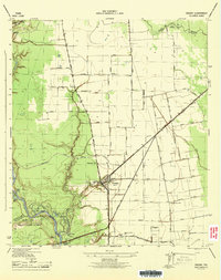
1944 · Crosby
USGS Topo · 1:31,680

1950 · Houston
USGS Topo · 1:250,000
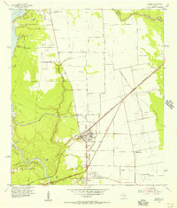
1954 · Crosby
USGS Topo · 1:24,000

1954 · Beaumont
USGS Topo · 1:250,000

1955 · Liberty
USGS Topo · 1:62,500