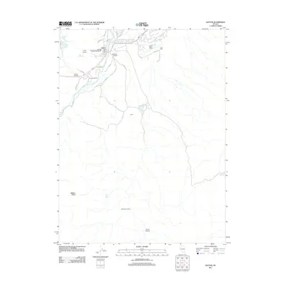
2011 Map of Dayton
USGS Topo · Published 2011About this map
Dayton's industrial legacy and modern development converge along the Carson River in this 2011 survey of Lyon County. The town site remains a focal point of historic Nevada mining interest, preserving the locations of the Sutro Mill, the Solomon and Jacobs Mill, and the Kustel and Winters Mill north of the river bend. These sites reflect the intensive mineral processing that once defined Gold Canyon. To the south and east, the landscape transitions into a series of deep drainages including Eldorado Canyon, Sullivan Canyon, and Illinois Canyon. Modern features such as the Dayton Valley Airpark and Lakes Blvd illustrate the area's contemporary growth, while established agricultural sites like the Santa Maria Ranch and Pradere Ranch maintain a link to the valley's ranching traditions. The map also captures local landmarks such as the Letter D on the hillside and the Dayton Post Office.
Find a feature on this map
34 named features on this map. Tap any name to fly to it.
Don’t see what you’re looking for? This feature index may not catch every label — zoom into the map to look around manually.
Map Details
Editions of this 2011 Dayton Map
This is the sole edition of this map. No revisions or reprints were ever made.
Other maps of this area

1891 · Carson
USGS Topo · 1:125,000

1891 · Wabuska
USGS Topo · 1:125,000

1893 · Carson
USGS Topo · 1:125,000

1894 · Wabuska
USGS Topo · 1:125,000

1950 · Virginia City
USGS Topo · 1:62,500

1952 · Virginia City
USGS Topo · 1:62,500

1956 · Dayton
USGS Topo · 1:62,500

1957 · Como
USGS Topo · 1:62,500

1957 · Churchill Butte
USGS Topo · 1:62,500

1957 · Reno
USGS Topo · 1:250,000