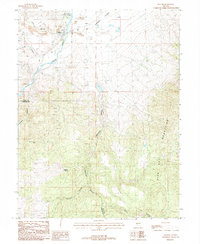
1987 Map of Dayton
USGS Topo · Published 1988About this map
The Carson River flows past the historic settlement of Dayton, revealing a landscape heavily shaped by mining and water management in the 1980s. This survey captures the transition from the Carson Plains to the high elevations of the Pine Nut Mountains, with the Dayton Town Ditch and numerous pipelines marking the infrastructure of the desert. The intensity of mineral exploration is evident in the cluster of labels for Prospect and Prospects throughout Gold Canyon and Daney Canyon, alongside substantial Tailings and the Dixon Mine.
Find a feature on this map
26 named features on this map. Tap any name to fly to it.
Don’t see what you’re looking for? This feature index may not catch every label — zoom into the map to look around manually.
Map Details
Editions of this 1987 Dayton Map
This is the sole edition of this map. No revisions or reprints were ever made.
Other maps of this area

1891 · Carson
USGS Topo · 1:125,000

1891 · Wabuska
USGS Topo · 1:125,000

1893 · Carson
USGS Topo · 1:125,000

1894 · Wabuska
USGS Topo · 1:125,000

1950 · Virginia City
USGS Topo · 1:62,500

1952 · Virginia City
USGS Topo · 1:62,500

1956 · Dayton
USGS Topo · 1:62,500

1957 · Como
USGS Topo · 1:62,500

1957 · Churchill Butte
USGS Topo · 1:62,500

1957 · Reno
USGS Topo · 1:250,000